

Loading
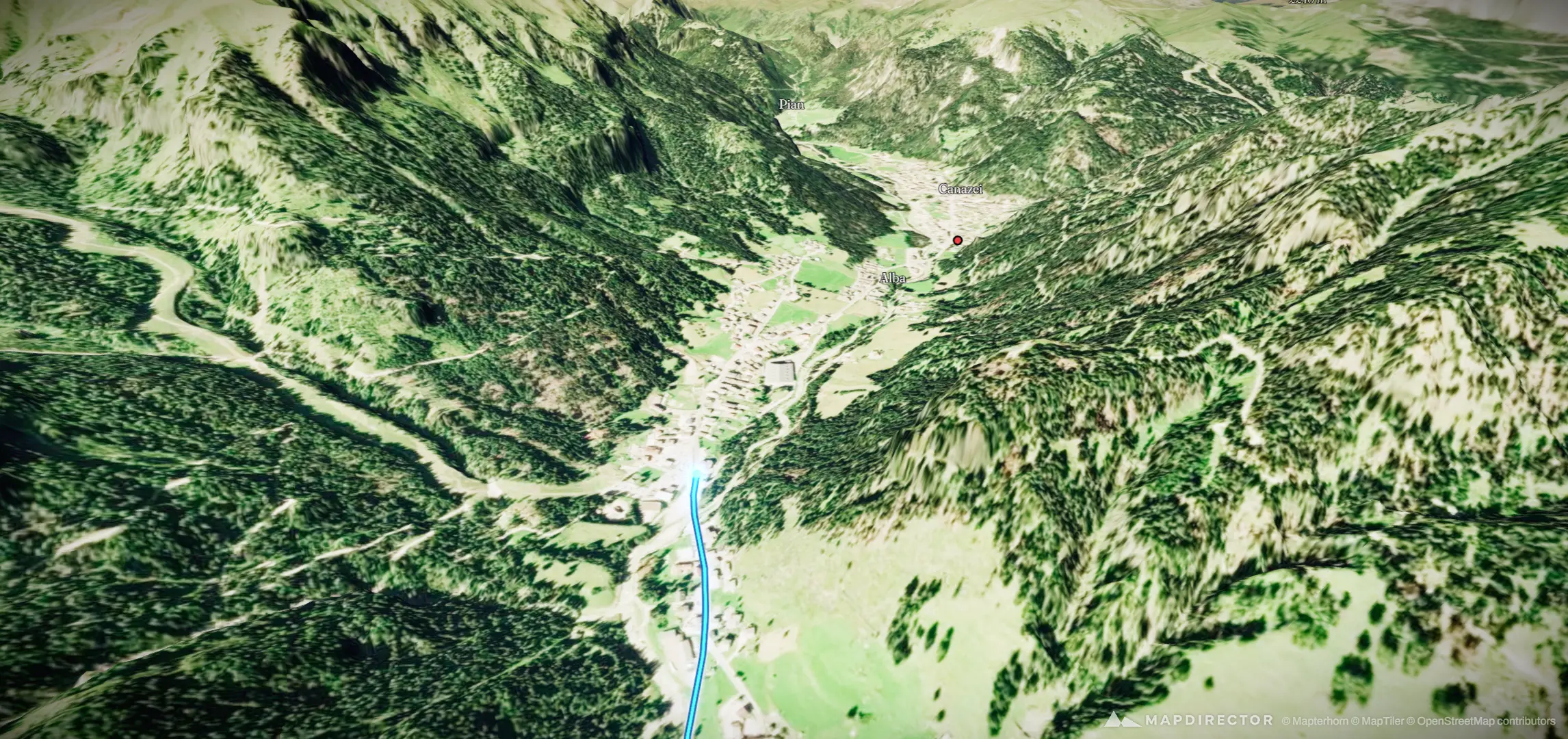
06/10/2015 Trentino-Alto Adige, Italy
Ride
06/10/2015 Trentino-Alto Adige, Italy
Jun 10, 2015
By the numbers
- Distance
- 60.0 km
- Ascent
- 1,497 m
- Descent
- 1,408 m
- Moving time
- 3h 48m
Elevation profile
1,060 m → 2,030 m
Drag across the profile to follow the route on the map.
More stats
- Avg speed (moving)
- 15.7 km/h
- Avg speed
- 13.0 km/h
- Time
- 4h 36m
- Avg heart rate
- 126 bpm
- Max heart rate
- 162 bpm
- Avg temperature
- 16.6 °C