

Loading
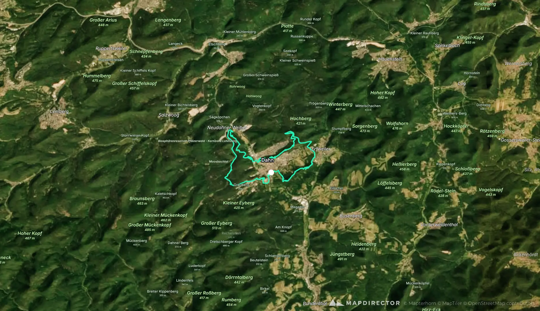
15-dahner-rundwanderweg-mit-hochstein
Hike
15-dahner-rundwanderweg-mit-hochstein
By the numbers
- Distance
- 20.3 km
- Ascent
- 520 m
- Descent
- 524 m
- Moving time
- -
Elevation profile
204 m → 358 m
Drag across the profile to follow the route on the map.
Hike
By the numbers
Elevation profile
204 m → 358 m
Drag across the profile to follow the route on the map.