

Loading
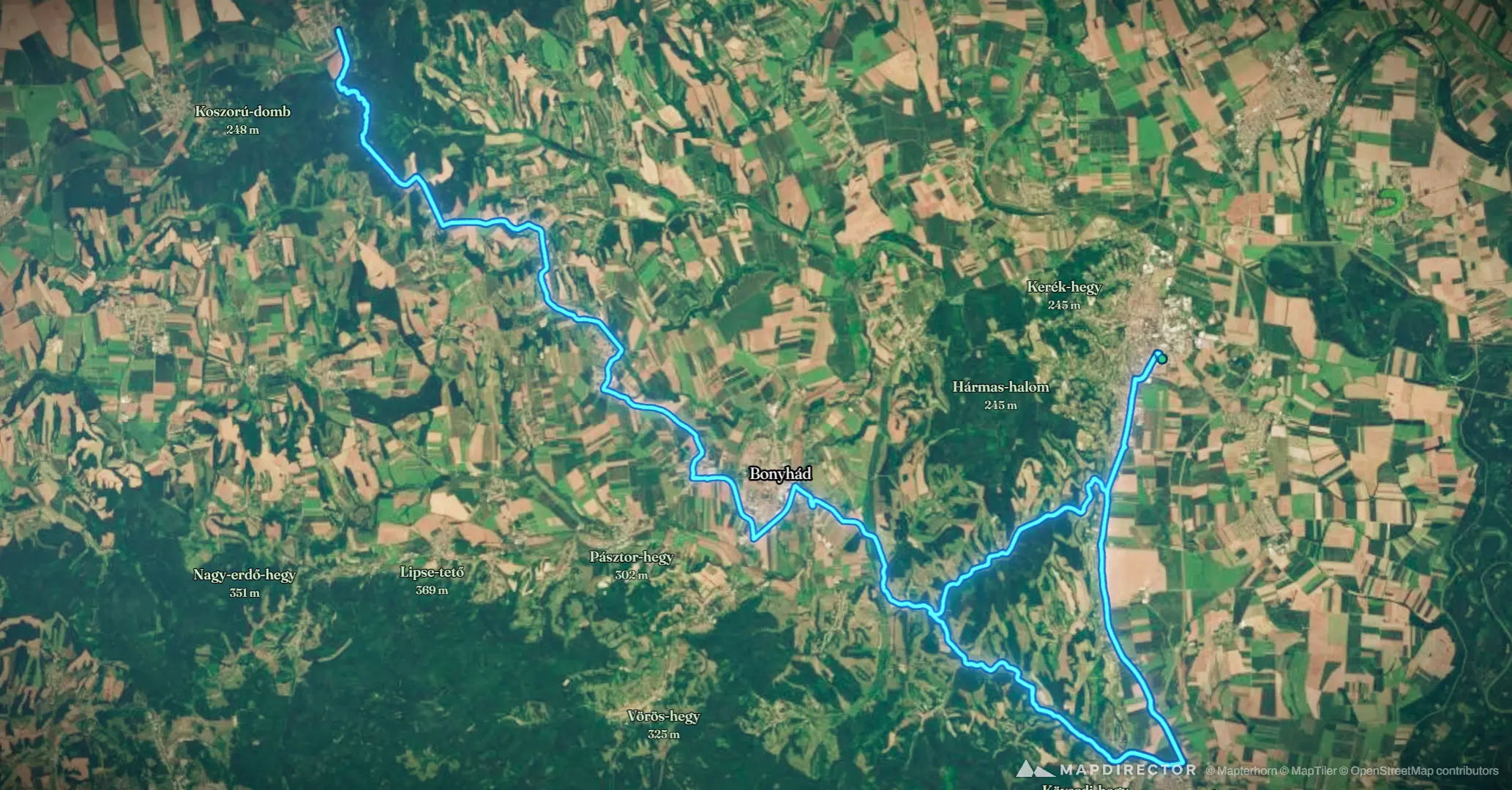
Motorcycle
2026. aug. 26. 15:04:14
2026-08-26

Mapped by
Roland Hammer
By the numbers
- Distance
- 128 km
- Ascent
- 915 m
- Descent
- 917 m
- Moving time
- 2h 00m
Elevation profile
129 m → 310 m
Drag across the profile to follow the route on the map.
More stats
- Avg speed (moving)
- 64.1 km/h
- Avg speed
- 60.3 km/h
- Time
- 2h 07m