

Loading
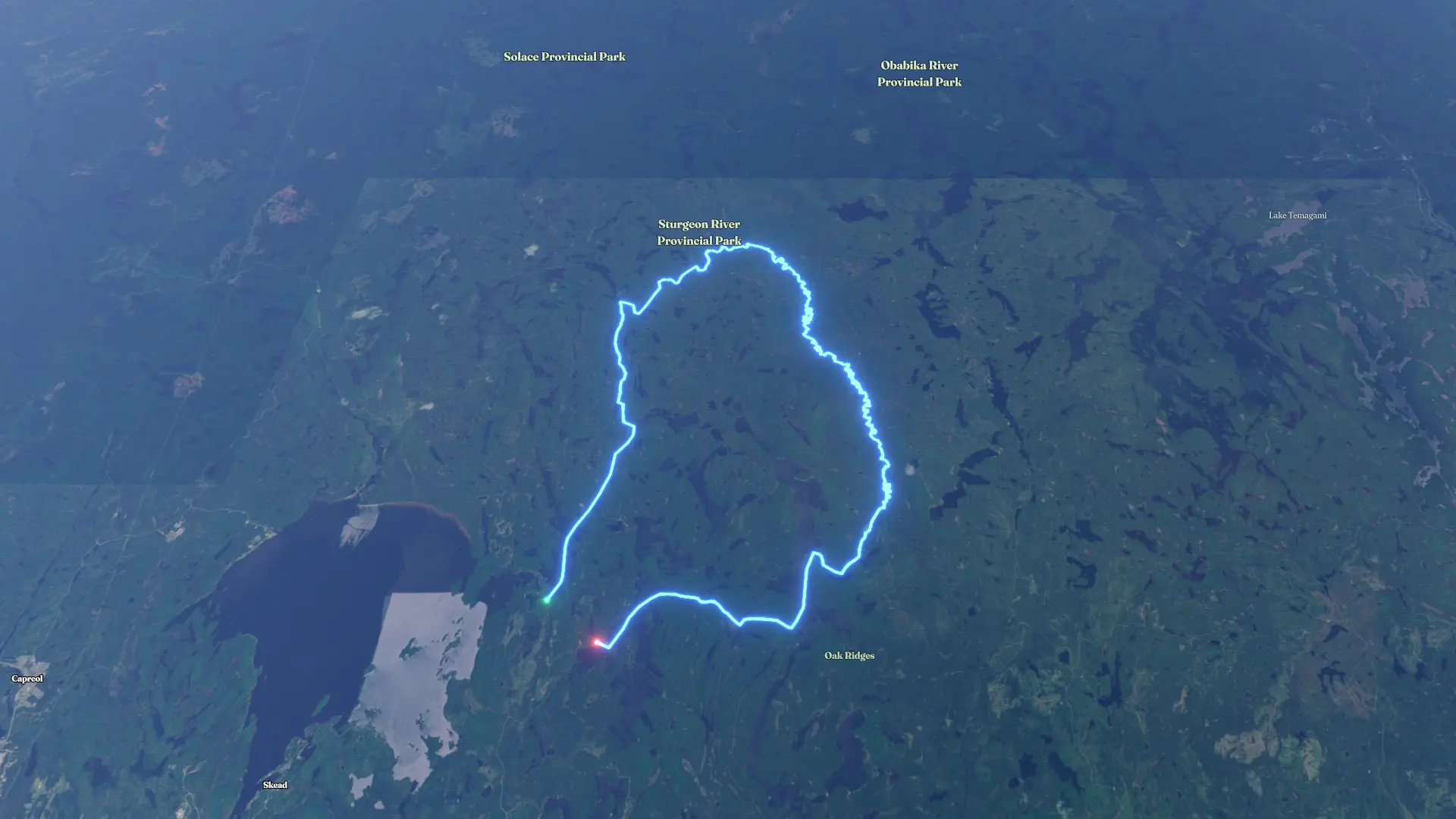
2026 option Sturgeon River
Canoeing
2026 option Sturgeon River
By the numbers
- Distance
- 102 km
- Ascent
- 222 m
- Descent
- 215 m
- Moving time
- -
Elevation profile
242 m → 330 m
Drag across the profile to follow the route on the map.
Canoeing
By the numbers
Elevation profile
242 m → 330 m
Drag across the profile to follow the route on the map.