

Loading
MTB
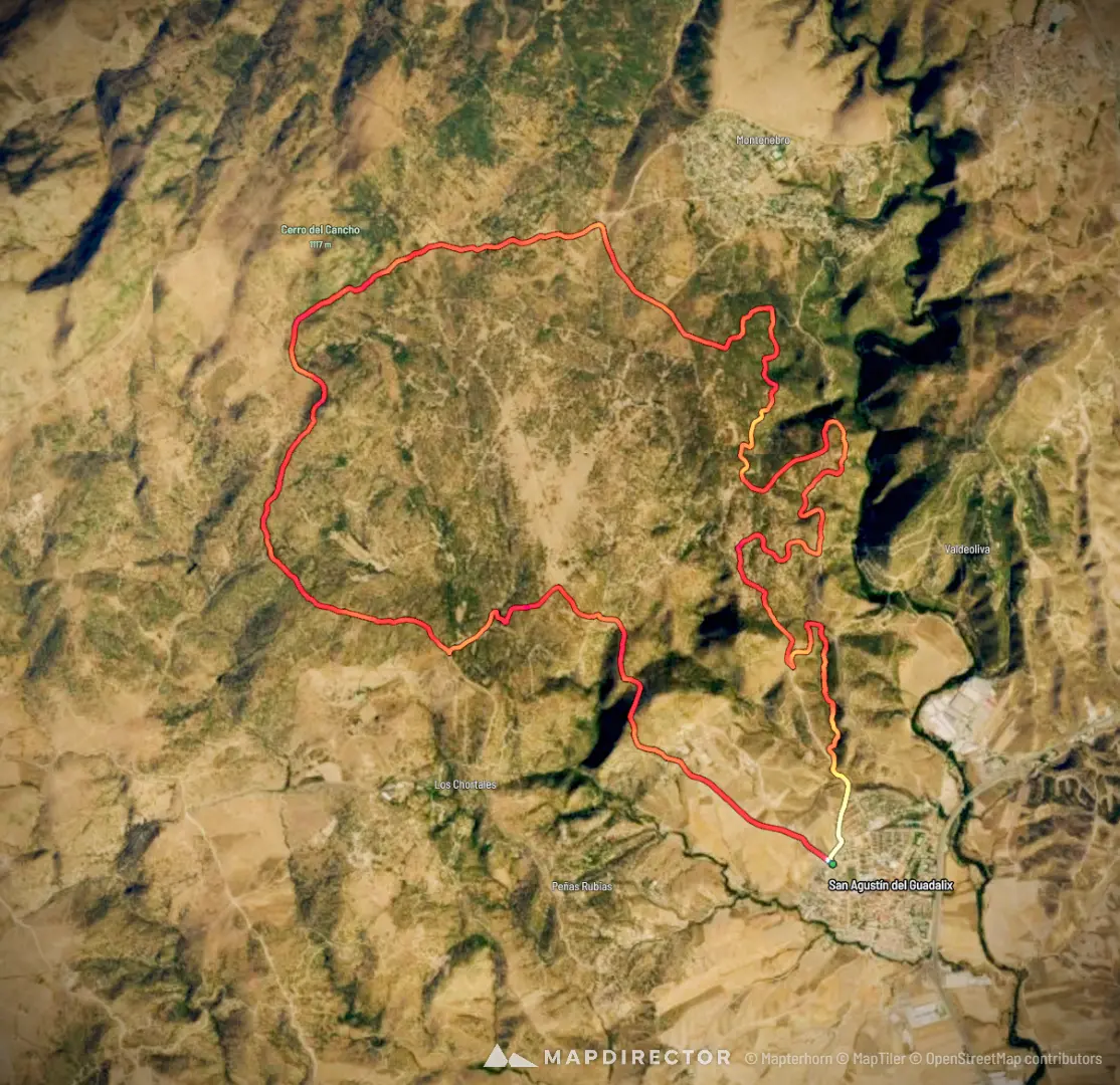
20260215 San Agustín - Matahonda
Feb 15, 2026
Mapped by
Isaac Garcia
The timeline
By the numbers
- Distance
- 24.9 km
- Ascent
- 439 m
- Descent
- 434 m
- Moving time
- 2h 35m
Elevation profile
648 m → 1,013 m
Drag across the profile to follow the route on the map.
More stats
- Avg speed (moving)
- 9.6 km/h
- Avg speed
- 8.5 km/h
- Time
- 2h 55m
- Avg heart rate
- 145 bpm
- Max heart rate
- 171 bpm
- Avg cadence
- 81 rpm
- Avg temperature
- 10.4 °C