

Loading
Kayaking
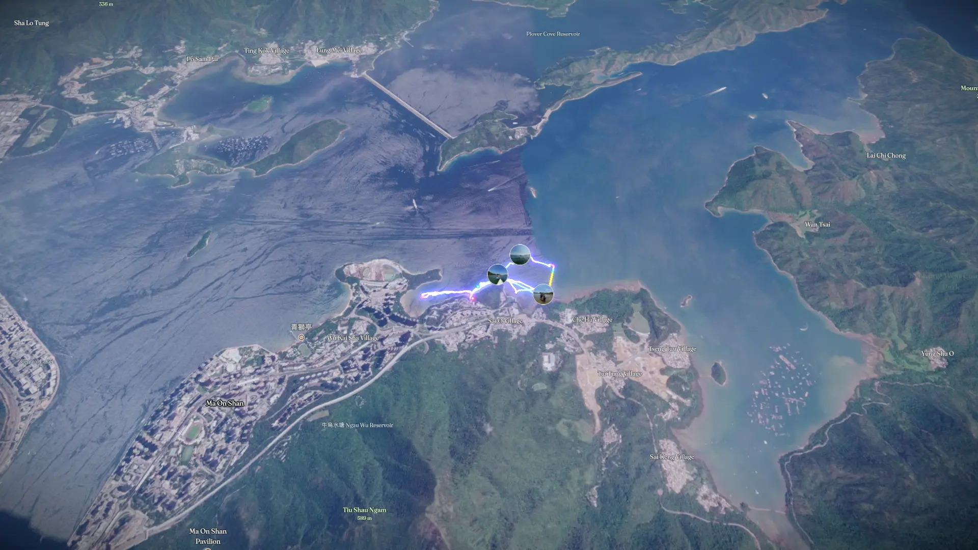
20260809 Morning kayaking
Aug 9, 2026

Mapped by
Kayaker Tyn
The story
Tolo Harbour Trip - 泥涌+海星灣 Nai chung+Starfish bay
The timeline
By the numbers
- Distance
- 7.18 km
- Ascent
- 172 m
- Descent
- 161 m
- Moving time
- 2h 22m
Elevation profile
-44 m → 23 m
Drag across the profile to follow the route on the map.
More stats
- Avg speed (moving)
- 3.0 km/h
- Avg speed
- 1.9 km/h
- Time
- 3h 45m
- Avg heart rate
- 91 bpm
- Max heart rate
- 117 bpm
- Avg temperature
- 34.9 °C