

Loading
Hike
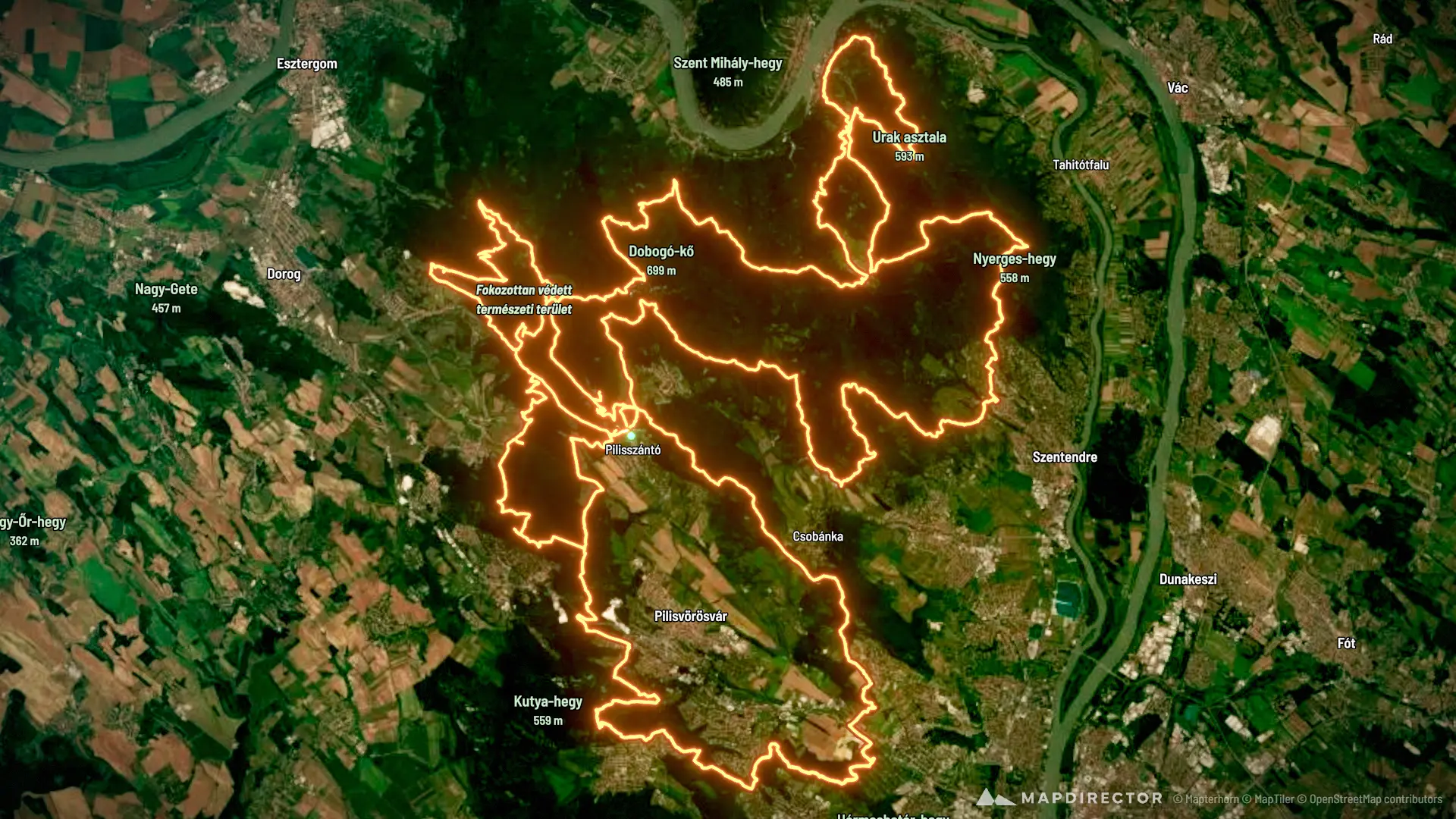
20261023_25_III_szanto_200_tt_hivatalos_GPS_utvonal
Aug 28, 2022 – Sep 17, 2026

Mapped by
Gyula Rakk
By the numbers
- Distance
- 203 km
- Ascent
- 6,524 m
- Descent
- 6,522 m
- Moving time
- -
Elevation profile
108 m → 754 m
Drag across the profile to follow the route on the map.