

Loading
Hike
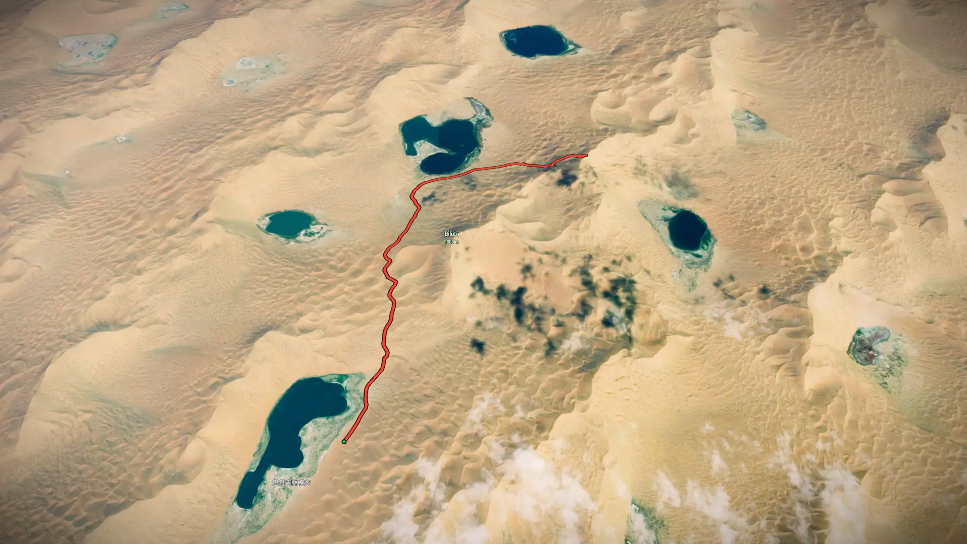
巴丹吉林路线

Mapped by
lotike sarvercha
By the numbers
- Distance
- 14.4 km
- Ascent
- 648 m
- Descent
- 650 m
- Moving time
- -
Elevation profile
1,189 m → 1,600 m
Drag across the profile to follow the route on the map.
Hike
Mapped by
lotike sarvercha
By the numbers
Elevation profile
1,189 m → 1,600 m
Drag across the profile to follow the route on the map.