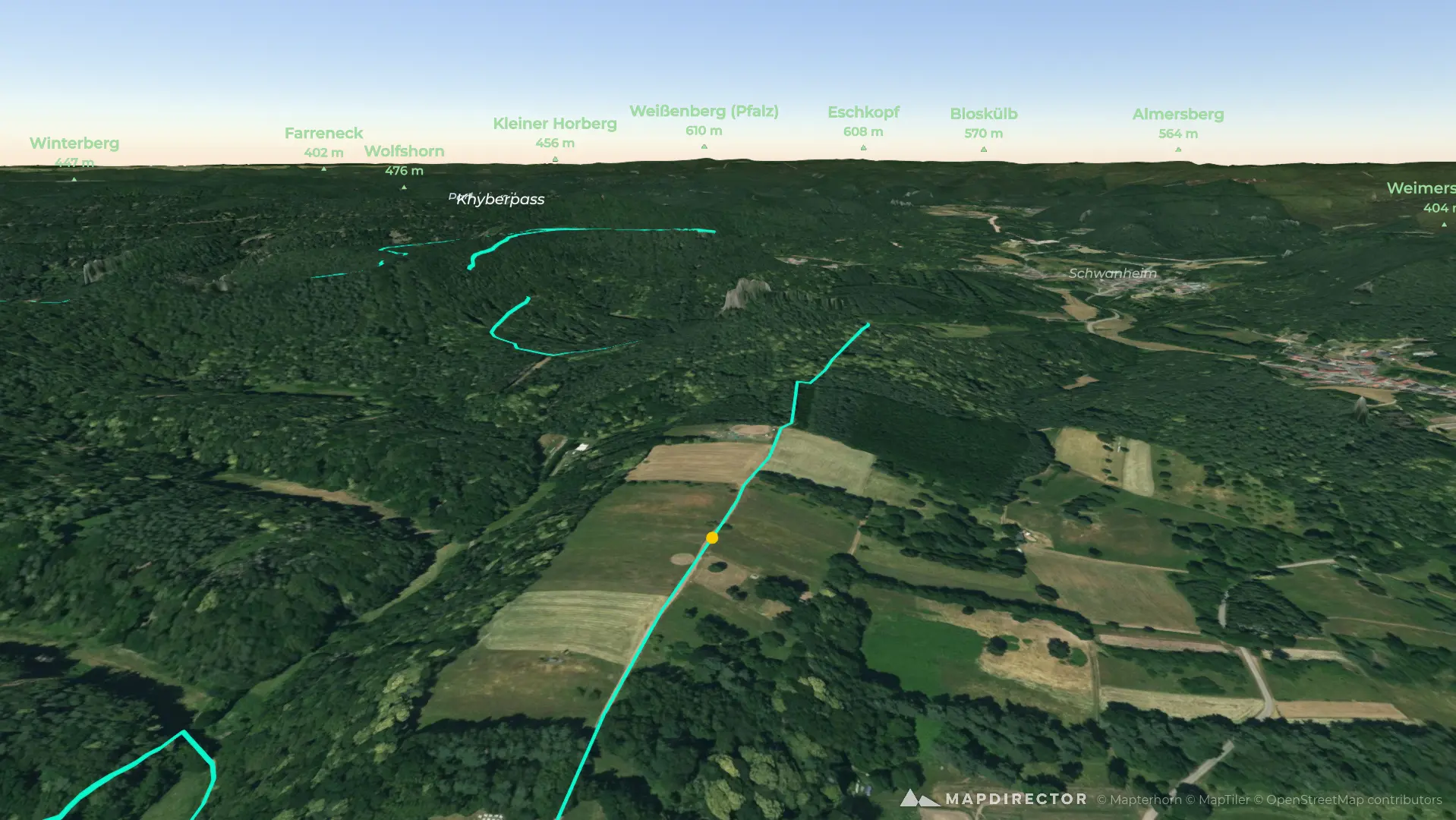


Loading
98-oberschlettenbacher-hoehenweg-kurze-variante-felsruecken-waldpfade-und-stille-panoramen-im-wasgau
Hike
98-oberschlettenbacher-hoehenweg-kurze-variante-felsruecken-waldpfade-und-stille-panoramen-im-wasgau
By the numbers
- Distance
- 8.84 km
- Ascent
- 238 m
- Descent
- 251 m
- Moving time
- -
Elevation profile
255 m → 442 m
Drag across the profile to follow the route on the map.