

Loading
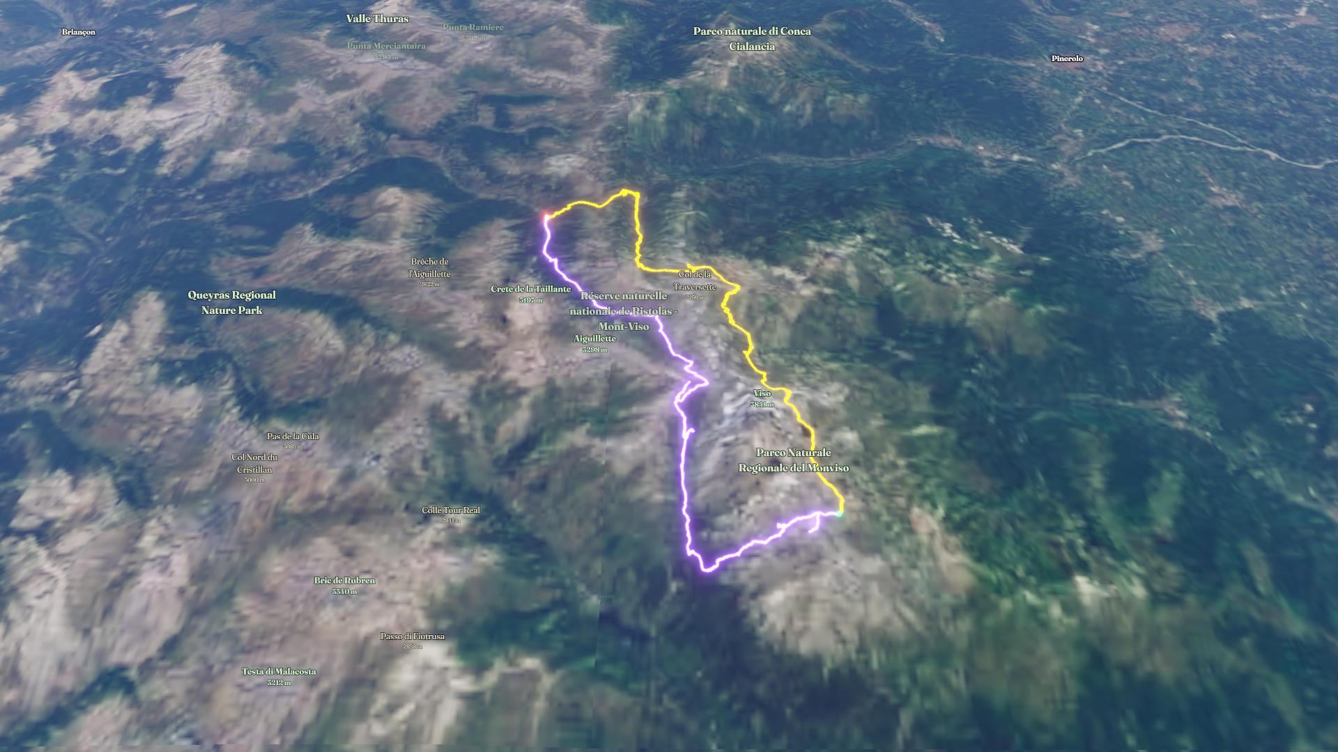
Abriès-Ristolas Randonnée
Hike
Abriès-Ristolas Randonnée
Jun 29, 2026 – Jul 4, 2026
The timeline
By the numbers
- Distance
- 67.2 km
- Ascent
- 4,475 m
- Descent
- 4,464 m
- Moving time
- 23h 22m
Elevation profile
1,721 m → 3,062 m
Drag across the profile to follow the route on the map.
More stats
- Avg speed (moving)
- 2.9 km/h
- Avg speed
- 0.6 km/h
- Time
- 5d 01h 18m
Per leg
Abriès-Ristolas Randonnée
- Distance
- 34.8 km
- Ascent
- 2,696 m
- Descent
- 1,674 m
- Moving
- 11h 38m
- Avg speed
- 3.0 km/h
Abriès-Ristolas Randonnée
- Distance
- 32.3 km
- Ascent
- 1,779 m
- Descent
- 2,790 m
- Moving
- 11h 44m
- Avg speed
- 2.8 km/h