

Loading
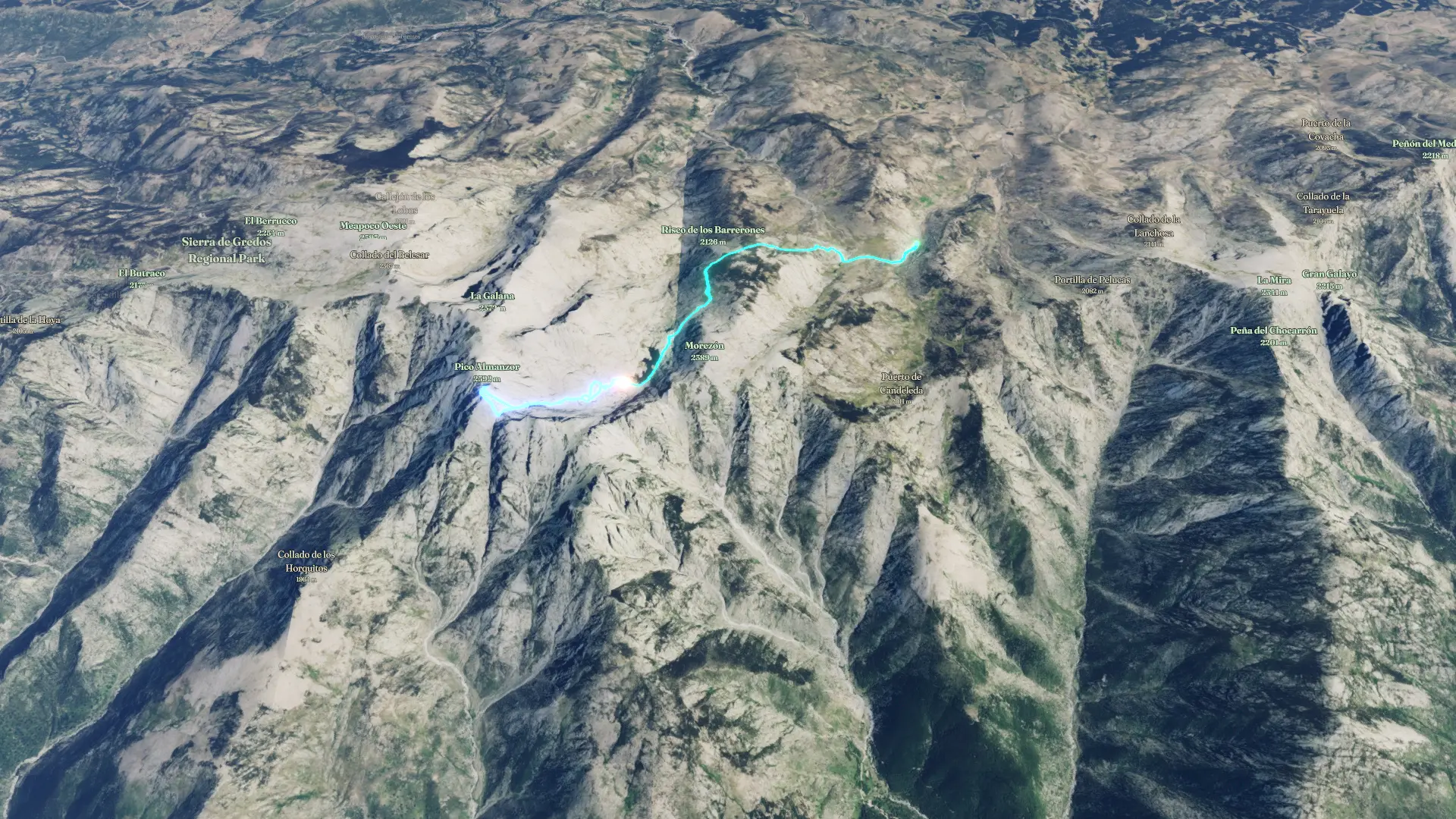
Almanzor
Hike
Almanzor
Jul 3, 2026 – Jul 4, 2026
The timeline
By the numbers
- Distance
- 11.9 km
- Ascent
- 1,113 m
- Descent
- 905 m
- Moving time
- 5h 13m
Elevation profile
1,825 m → 2,598 m
Drag across the profile to follow the route on the map.
More stats
- Avg speed (moving)
- 2.3 km/h
- Avg speed
- 1.5 km/h
- Time
- 7h 53m
- Avg heart rate
- 122 bpm
- Max heart rate
- 175 bpm
Per leg
20260704_092747.gpx
- Distance
- 5.13 km
- Ascent
- 655 m
- Descent
- 664 m
- Moving
- 2h 53m
- Avg speed
- 1.8 km/h
- Avg HR
- 126 bpm
- Max HR
- 175 bpm
20260703_185702.gpx
- Distance
- 6.79 km
- Ascent
- 458 m
- Descent
- 240 m
- Moving
- 2h 20m
- Avg speed
- 2.9 km/h
- Avg HR
- 116 bpm
- Max HR
- 157 bpm