

Mapdirector
Loading
Alps 2026 Trip titleby Mapdirector

Mountaineering

Alps 2026 Trip title

Jul 14, 2026 – Jul 19, 2026
Mapped by

Mapdirector

The story

This is a description about the trip

The timeline

By the numbers

Distance
63.3 km
Ascent
5 457 m
Descent
5 427 m
Moving time
1d 03h 33m

Elevation profile

2 074 m → 3 785 m

Drag across the profile to follow the route on the map.

More stats
Avg speed (moving)
2.3 km/h
Avg speed
1.4 km/h
Time
1d 22h 45m
Avg heart rate
99 bpm
Max heart rate
154 bpm

Per leg

  • Arolla to Dix

    Distance
    9.80 km
    Ascent
    1 182 m
    Descent
    329 m
    Moving
    3h 57m
    Avg speed
    2.5 km/h
    Avg HR
    104 bpm
    Max HR
    143 bpm
  • Dix to Pleureur

    Distance
    9.33 km
    Ascent
    979 m
    Descent
    971 m
    Moving
    4h 51m
    Avg speed
    1.9 km/h
    Avg HR
    106 bpm
    Max HR
    152 bpm
  • Dix to Chanrion

    Distance
    12.8 km
    Ascent
    793 m
    Descent
    1 252 m
    Moving
    5h 34m
    Avg speed
    2.3 km/h
    Avg HR
    99 bpm
    Max HR
    147 bpm
  • Pointe d'Otemma

    Distance
    5.32 km
    Ascent
    892 m
    Descent
    888 m
    Moving
    2h 23m
    Avg speed
    2.2 km/h
    Avg HR
    90 bpm
    Max HR
    132 bpm
  • Chanrion to Vignettes

    Distance
    14.3 km
    Ascent
    911 m
    Descent
    219 m
    Moving
    5h 22m
    Avg speed
    2.7 km/h
    Avg HR
    96 bpm
    Max HR
    154 bpm
  • Pigne d'Arolla

    Distance
    5.34 km
    Ascent
    670 m
    Descent
    660 m
    Moving
    3h 17m
    Avg speed
    1.6 km/h
    Avg HR
    102 bpm
    Max HR
    145 bpm
  • Vignettes to Arolla

    Distance
    6.36 km
    Ascent
    31 m
    Descent
    1 107 m
    Moving
    2h 07m
    Avg speed
    3.0 km/h
    Avg HR
    93 bpm
    Max HR
    123 bpm

Enjoyed this

Send it to someone

Your turn

Make a page like this from your own track

Powered byMapdirector
  1. Leg 1Arolla to Dix9.80 km
    1. What's aheadTue, Jul 14·08:36

      Here's to the new expedition!

    2. Hi there mate

    3. 0.86 km · 1%·09:03

      Title d dj kfj

      The team yes

    4. Jup this be a lunch

    5. 6.71 km · 11%·12:49

      12:49

    6. 7.37 km · 12%·13:27

      13:27

    7. 9.31 km · 15%·14:50

      14:50

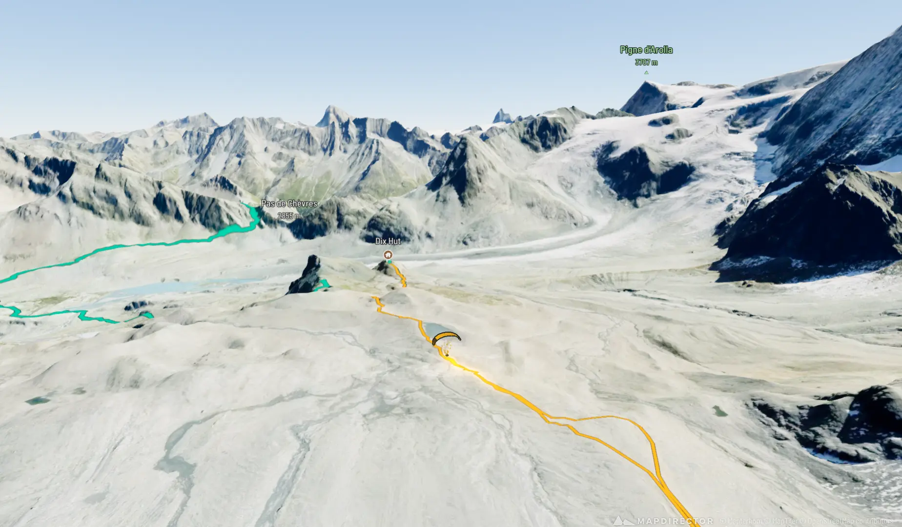
      Cabane de Dix

    8. 9.80 km · 15%·16:50

      Image 4

      This is the image yes

    9. Ascent
      1 182m
      Distance
      9.80km
      Max altitude
      2 962m

      Here is the new way of doing it

  2. Leg 2Dix to Pleureur9.33 km
    1. What's aheadWed, Jul 15·04:24

      Hello there sire

    2. 10.3 km · 16%·04:36

      04:36

      Midnight departure

    3. 12.0 km · 19%·06:03

      06:03

    4. 12.7 km · 20%·07:18

      07:18

    5. 13.3 km · 21%·08:11

      08:11

    6. 13.6 km · 21%·08:24

      08:24

    7. 14.3 km · 23%·09:04

      09:04

    8. 2 photos15.2 km · 24%·10:07 – 10:14

      title

  3. Leg 3Dix to Chanrion12.8 km
    1. What's aheadThu, Jul 16·05:08

    2. 20.0 km · 32%·05:24

      Beat on the brat

    3. 2 photos22.2 km · 35%·07:12

      07:12

    4. 22.6 km · 36%·07:46

      07:46

    5. 25.8 km · 41%·10:32

      10:32

      Tricky rock garden!

    6. 26.8 km · 42%·12:23

      12:23

    7. 27.0 km · 43%·12:35

      12:35

    8. 27.9 km · 44%·13:47

      13:47

      Obligatory Edelweiss picture

    9. Ascent
      793m
      Distance
      12.8km
      Max altitude
      3 344m
  4. Leg 4Pointe d'Otemma5.32 km
    1. What's aheadFri, Jul 17·11:54

    2. 34.6 km · 55%·12:50

      12:50

    3. 37.3 km · 59%·16:47

      16:47

  5. Leg 5Chanrion to Vignettes14.3 km
    1. What's aheadSat, Jul 18·05:04

    2. 45.4 km · 72%·08:40

      08:40

    3. 47.6 km · 75%·10:03

      10:03

    4. 51.1 km · 81%·13:14

      13:14

      Cabane de Vignettes with Dent Blanche in the background

  6. Leg 6Pigne d'Arolla5.34 km
    1. What's aheadSun, Jul 19·04:15

    2. 52.3 km · 83%·04:49

      04:49

    3. 53.0 km · 84%·05:44

      05:44

    4. 54.3 km · 86%·07:03

      07:03

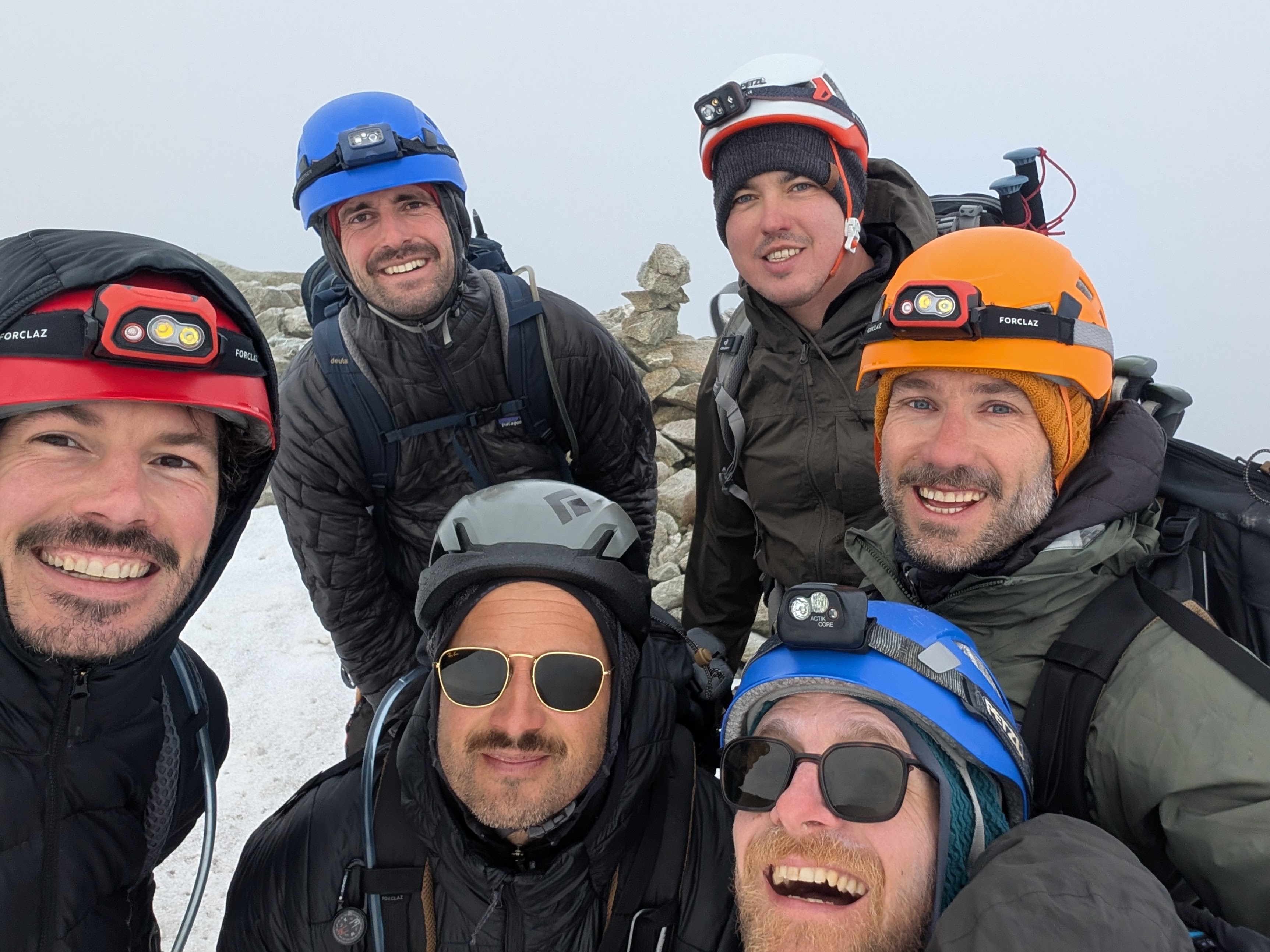
      We climb mountains for the view!

  7. Leg 7Vignettes to Arolla6.36 km
    1. What's aheadSun, Jul 19·10:27

    2. 61.8 km · 98%·12:28

      Last lunch

      Last lunch 😔

  8. Not on the route

    These photos have no position on the route.