

Loading
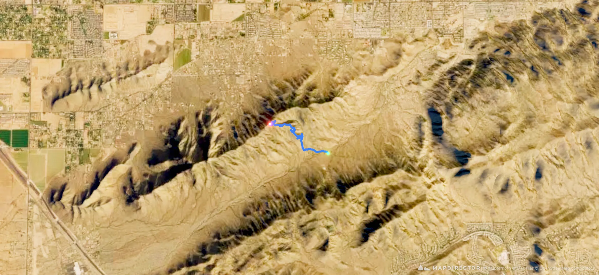
Alta Trail
Hike
Alta Trail
Dec 31, 1969
By the numbers
- Distance
- 1.57 mi
- Ascent
- 719 ft
- Descent
- -
- Moving time
- -
Elevation profile
1,620 ft → 2,349 ft
Drag across the profile to follow the route on the map.
More stats
- Time
- -
Hike
By the numbers
Elevation profile
1,620 ft → 2,349 ft
Drag across the profile to follow the route on the map.