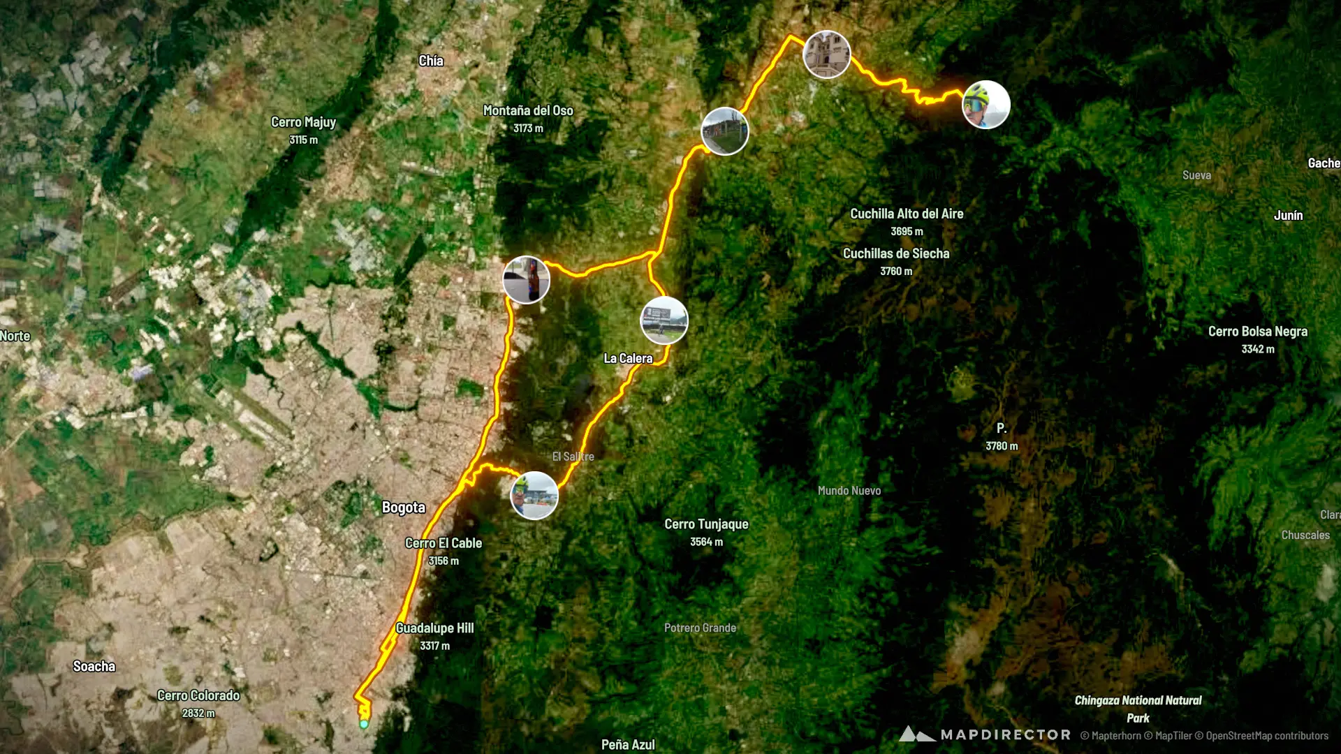


Mapdirector
Loading
Alto_de_la_Cuchilla_by BIKEMAN

Road Bike

Alto_de_la_Cuchilla_

Sep 15, 2026

Mapped by

BIKEMAN

The timeline

By the numbers

Distance
138 km
Ascent
2,305 m
Descent
2,292 m
Moving time
7h 04m

Elevation profile

2,592 m → 3,395 m

Drag across the profile to follow the route on the map.

More stats
Avg speed (moving)
19.6 km/h
Avg speed
15.3 km/h
Time
9h 03m

Enjoyed this

Send it to someone

Your turn

Make a page like this from your own track

More from this explorer

See where else BIKEMAN has been

Powered byMapdirector
  1. Tue, Sep 15 · 2 photos20.7 km · 15%·8:53 AM

    8:53 AM – 8:54 AM

    El Mitico

  2. Tue, Sep 1534.2 km · 25%·9:27 AM

    9:27 AM

    Enrutado al Objetivo

  3. Tue, Sep 1547.6 km · 34%·10:00 AM

    10:00 AM

    Ya Cerca

  4. Tue, Sep 15 · 7 photos68.3 km · 49%·11:24 AM

    11:24 AM – 11:28 AM

    Frío Extremo

    Tremendo Clima

    Aguantando el Clima

    La Meta Del Ciclista

    Buscando la Pose Adecuada

    Con el de Anteojos

    A Cuidar la Fauna

  5. Tue, Sep 15 · 4 photos80.9 km · 59%·12:13 PM

    12:13 PM – 12:14 PM

    Muy Hermoso Templo

    Pueblo muy Bonito

    Loa Ancestros

    Y partir de Regreso

  6. Tue, Sep 15 · 2 photos109 km · 79%·1:47 PM

    1:47 PM – 1:49 PM

    Pausa De Refresco

    El Refresco Energizante