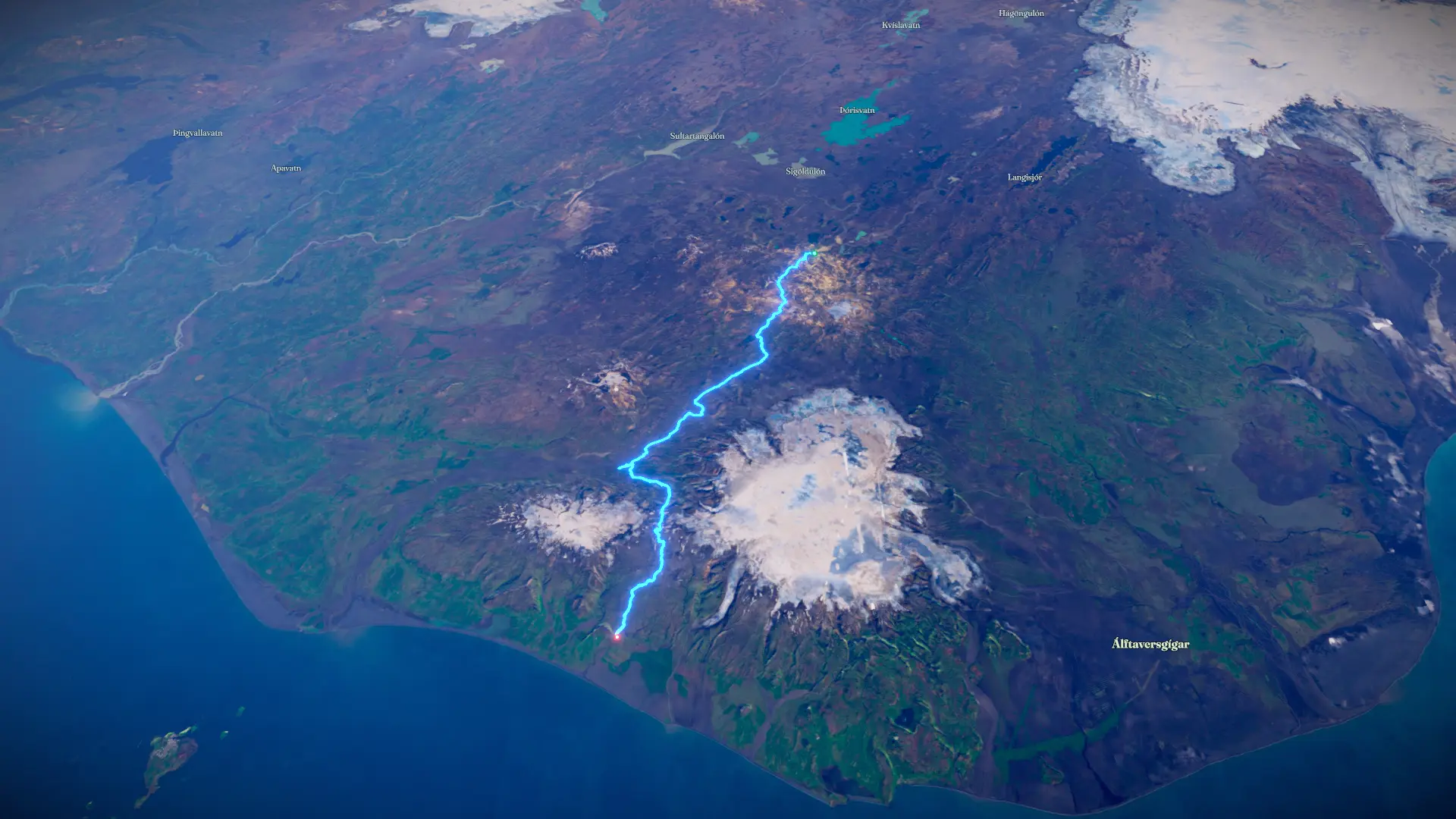


Loading
Backpacking Iceland - Laugavegur + Fimmvörðuháls Trails
Hike
Backpacking Iceland - Laugavegur + Fimmvörðuháls Trails
Jul 28, 2026 – Aug 2, 2026
By the numbers
- Distance
- 55.3 mi
- Ascent
- 7,676 ft
- Descent
- 9,457 ft
- Moving time
- 1d 04h 23m
Elevation profile
105 ft → 3,477 ft
Drag across the profile to follow the route on the map.
More stats
- Avg speed (moving)
- 1.9 mph
- Avg speed
- 0.4 mph
- Time
- 5d 03h 58m
- Avg heart rate
- 92 bpm
- Max heart rate
- 145 bpm
- Avg cadence
- 53 rpm
- Avg temperature
- 72.9 °F