

Loading
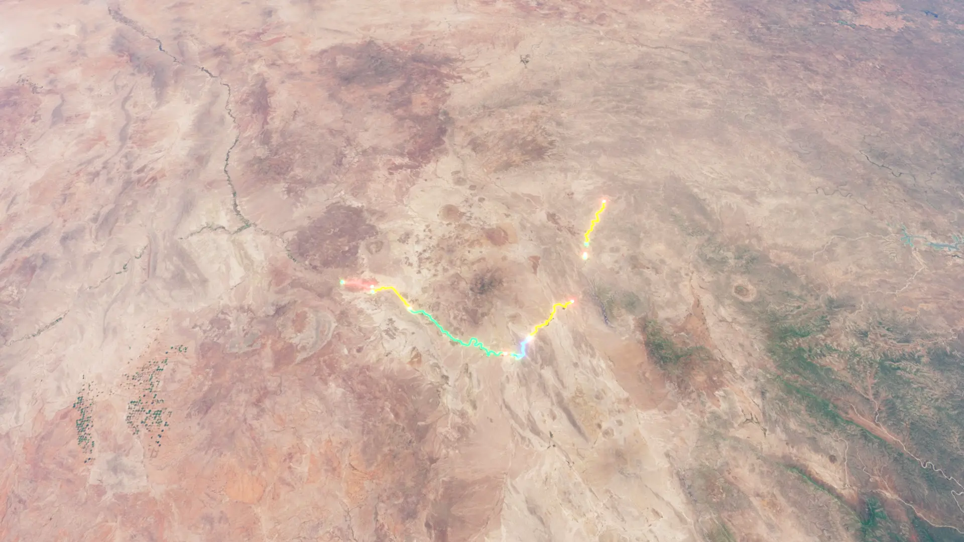
Big Bend Infrastructure Roads
4×4
Big Bend Infrastructure Roads
Jun 20, 2026
The timeline
By the numbers
- Distance
- 188 km
- Ascent
- 1,689 m
- Descent
- 1,754 m
- Moving time
- 5h 21m
Elevation profile
481 m → 1,098 m
Drag across the profile to follow the route on the map.
More stats
- Avg speed (moving)
- 35.0 km/h
- Avg speed
- 35.0 km/h
- Time
- 5h 21m
Per leg
0
- Distance
- 15.5 km
- Ascent
- 67 m
- Descent
- 89 m
- Moving
- 26m 33s
- Avg speed
- 35.0 km/h
1
- Distance
- 24.6 km
- Ascent
- 234 m
- Descent
- 286 m
- Moving
- 42m 07s
- Avg speed
- 35.0 km/h
2
- Distance
- 59.9 km
- Ascent
- 17 m
- Descent
- 61 m
- Moving
- 1h 42m
- Avg speed
- 35.0 km/h
3
- Distance
- 2.85 km
- Ascent
- 25 m
- Descent
- 19 m
- Moving
- 4m 53s
- Avg speed
- 34.9 km/h
4
- Distance
- 13.9 km
- Ascent
- 529 m
- Descent
- 540 m
- Moving
- 23m 52s
- Avg speed
- 35.0 km/h
5
- Distance
- 32.6 km
- Ascent
- 190 m
- Descent
- 235 m
- Moving
- 55m 53s
- Avg speed
- 35.0 km/h
6
- Distance
- 2.00 km
- Ascent
- 149 m
- Descent
- -
- Moving
- 3m 24s
- Avg speed
- 35.1 km/h
7
- Distance
- 36.2 km
- Ascent
- 480 m
- Descent
- 525 m
- Moving
- 1h 02m
- Avg speed
- 35.0 km/h