

Loading
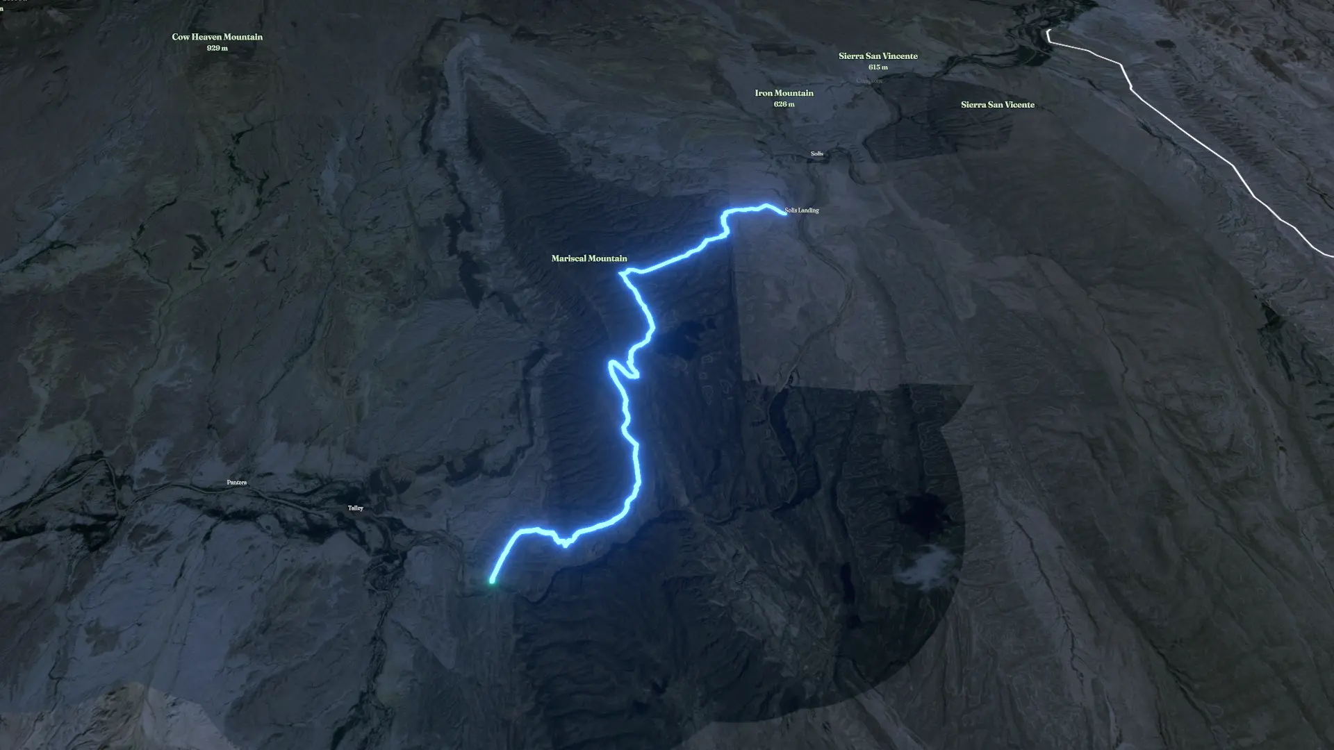
Big Bend Mariscal Mountain
4×4
Big Bend Mariscal Mountain
Jun 20, 2026
The story
Section of Big Bend that could be blown up for a new unnecessary border road.
The timeline
By the numbers
- Distance
- 8.66 mi
- Ascent
- 1,765 ft
- Descent
- 1,799 ft
- Moving time
- 49m 59s
Elevation profile
1,926 ft → 3,602 ft
Drag across the profile to follow the route on the map.
More stats
- Avg speed (moving)
- 10.4 mph
- Avg speed
- 10.4 mph
- Time
- 49m 59s