

Loading
Mountaineering
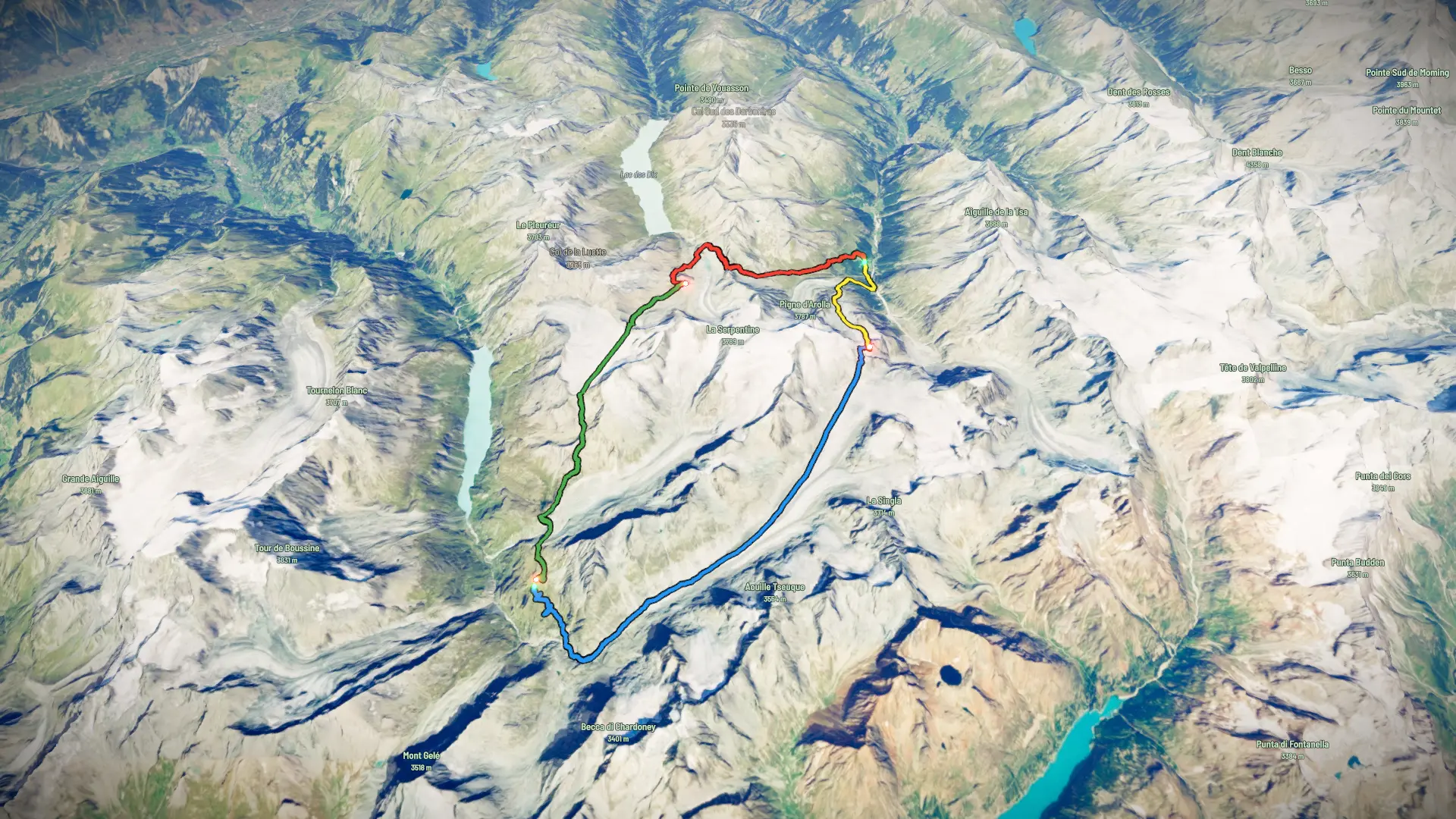
Bijna daar 2026

The timeline
By the numbers
- Distance
- 38.4 km
- Ascent
- 2 495 m
- Descent
- 2 452 m
- Moving time
- -
Elevation profile
1 968 m → 3 347 m
Drag across the profile to follow the route on the map.
More stats
Per leg
01 - Arolla to Dix
- Distance
- 9.27 km
- Ascent
- 1 141 m
- Descent
- 226 m
- Moving
- -
02 - Dix to Chanrion-reversed
- Distance
- 10.3 km
- Ascent
- 471 m
- Descent
- 925 m
- Moving
- -
03 - Chanrion to Vignettes
- Distance
- 13.0 km
- Ascent
- 846 m
- Descent
- 124 m
- Moving
- -
04 - Vignettes to Arolla
- Distance
- 5.82 km
- Ascent
- 38 m
- Descent
- 1 177 m
- Moving
- -