

Loading
Hike
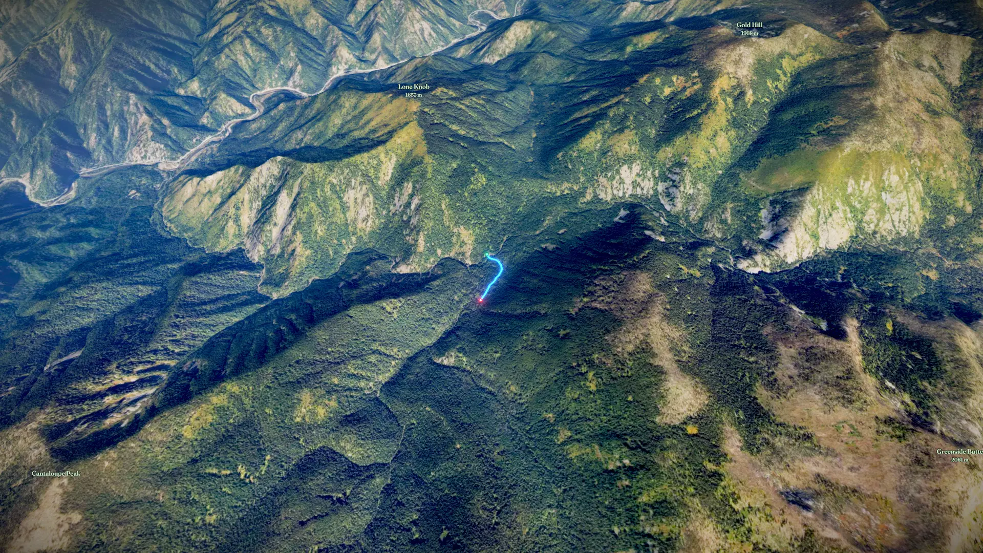
boulder to stanley hot springs and Huckleberrry Creek
Aug 5, 20265/ 5

Mapped by
Darryl Hadsell
The story
Second morning on my IWT trek.
By the numbers
- Distance
- 0.47 mi
- Ascent
- 139 ft
- Descent
- -
- Moving time
- -
Elevation profile
3,437 ft → 3,598 ft
Drag across the profile to follow the route on the map.
More stats
- Time
- -