

Mapdirector
Loading
C2C Ennerdale Bridge to Seatoller

Multi-day Hike

C2C Ennerdale Bridge to Seatoller

Jul 23, 2026

The timeline

By the numbers

Distance
23.3 km
Ascent
567 m
Descent
548 m
Moving time
6h 32m

Elevation profile

104 m → 611 m

Drag across the profile to follow the route on the map.

More stats
Avg speed (moving)
3.6 km/h
Avg speed
3.1 km/h
Time
7h 35m
Avg heart rate
86 bpm
Max heart rate
126 bpm
Avg cadence
50 rpm
Avg temperature
28.9 °C

Enjoyed this

Send it to someone

Your turn

Make a page like this from your own track

Powered byMapdirector
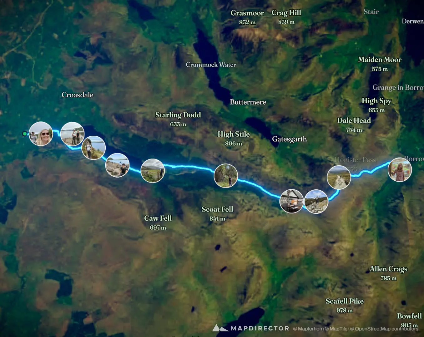
  1. Thu, Jul 230.83 km · 4%·09:08

    Fresh and on our way for day 2

  2. Thu, Jul 232.55 km · 11%·09:30

    The lakes district

  3. Thu, Jul 234.58 km · 20%·10:07

    It's a big lake

  4. Thu, Jul 236.08 km · 26%·10:43

    Still along the lake

  5. Thu, Jul 237.89 km · 34%·11:18

    Time to leave the lake behind

  6. Thu, Jul 2312.2 km · 52%·12:28

    Shallow roots

  7. Thu, Jul 2315.6 km · 67%·13:19

    Black Sail Hut (lunch stop)

  8. Thu, Jul 2317.0 km · 73%·14:32

    I give up - it's a BIG hill!

  9. Thu, Jul 23 · 2 photos18.9 km · 81%·15:12 – 15:21

    Descending

  10. Thu, Jul 23After the finish·18:43

    Celebratory drink at Glaramara Hotel