

Loading
Hike
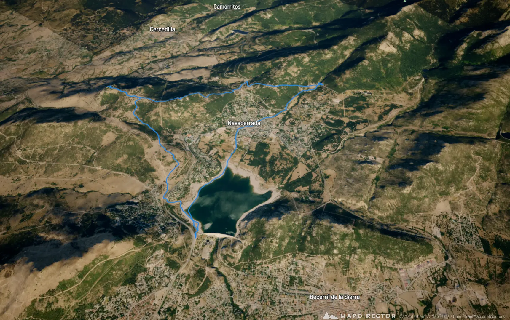
Cerros de las Ruedas y La Golondrina, embalses del Chiquillo y Navacerrada 2026-10-31
31 Oct 2026
By the numbers
- Distance
- 12.4 km
- Ascent
- 377 m
- Descent
- 378 m
- Moving time
- 21m 14s
Elevation profile
1,155 m → 1,389 m
Drag across the profile to follow the route on the map.
More stats
- Avg speed (moving)
- 34.9 km/h
- Avg speed
- 2.2 km/h
- Time
- 5h 37m