

Loading
Hike
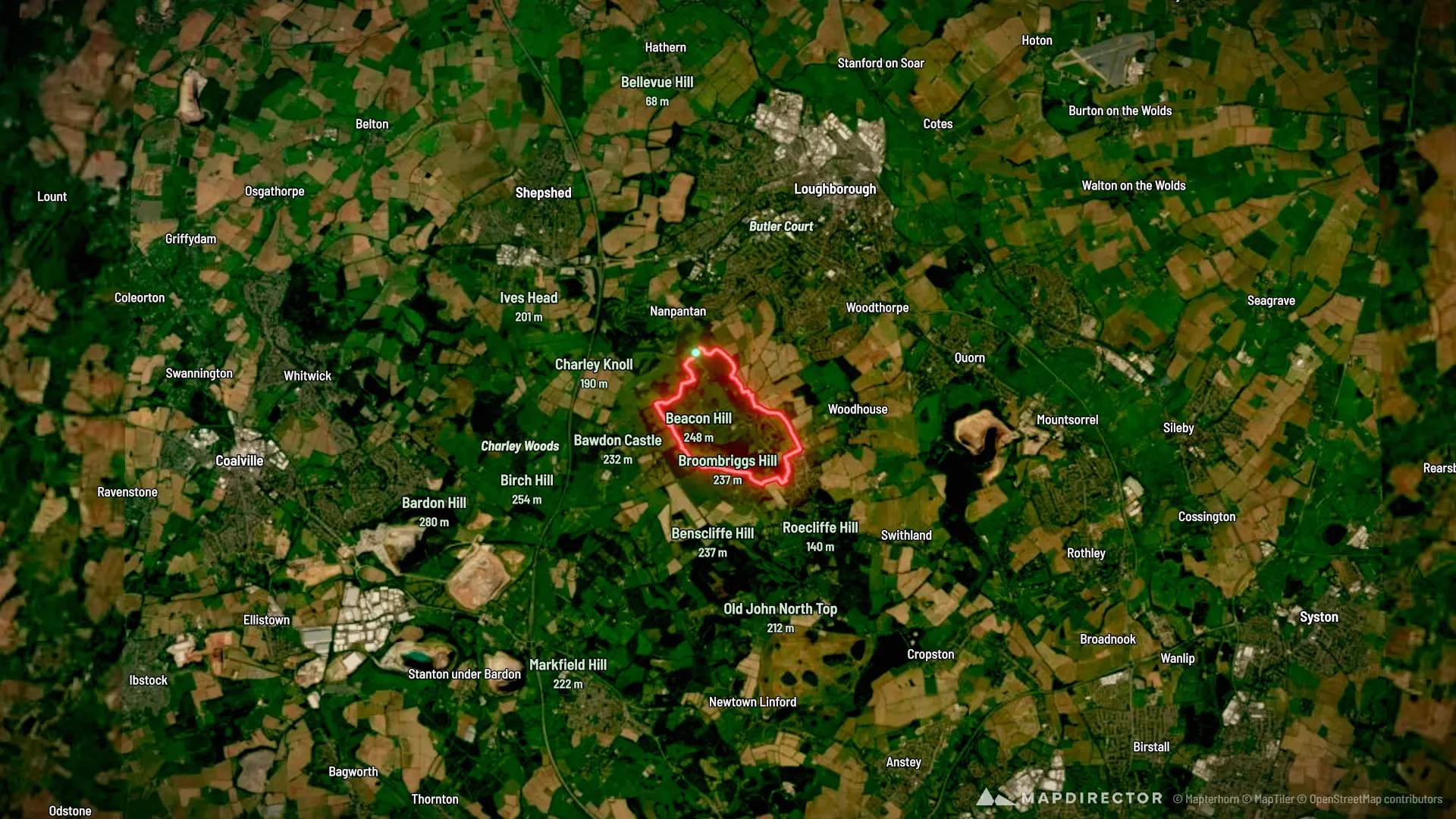
Charnwood Hiking
Sep 18, 2026

Mapped by
Richard Bulmer
By the numbers
- Distance
- 5.94 mi
- Ascent
- 745 ft
- Descent
- 757 ft
- Moving time
- 2h 09m
Elevation profile
315 ft → 766 ft
Drag across the profile to follow the route on the map.
More stats
- Avg speed (moving)
- 2.7 mph
- Avg speed
- 2.7 mph
- Time
- 2h 09m
- Avg heart rate
- 117 bpm
- Max heart rate
- 153 bpm
- Avg cadence
- 55 rpm
- Avg temperature
- 78.4 °F