

Loading
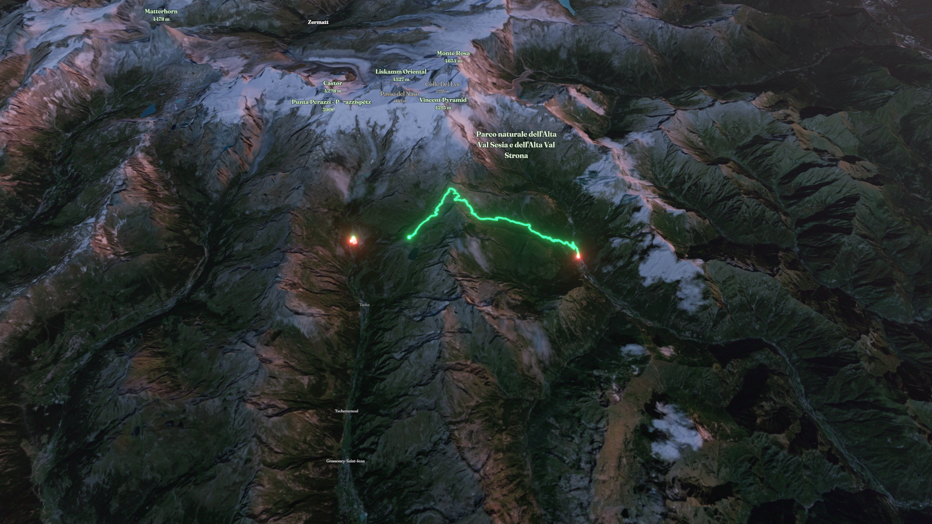
Day 7 - Gressoney to Alagna
Hike
Day 7 - Gressoney to Alagna
The timeline
By the numbers
- Distance
- 14.6 km
- Ascent
- 11,884 m
- Descent
- 11,885 m
- Moving time
- -
Elevation profile
1,191 m → 3,024 m
Drag across the profile to follow the route on the map.
More stats
Per leg
Strada Regionale 43 di Staffal
- Distance
- 0.88 km
- Ascent
- 4 m
- Descent
- 4 m
- Moving
- -
6
- Distance
- 13.8 km
- Ascent
- 11,880 m
- Descent
- 11,881 m
- Moving
- -