

Loading
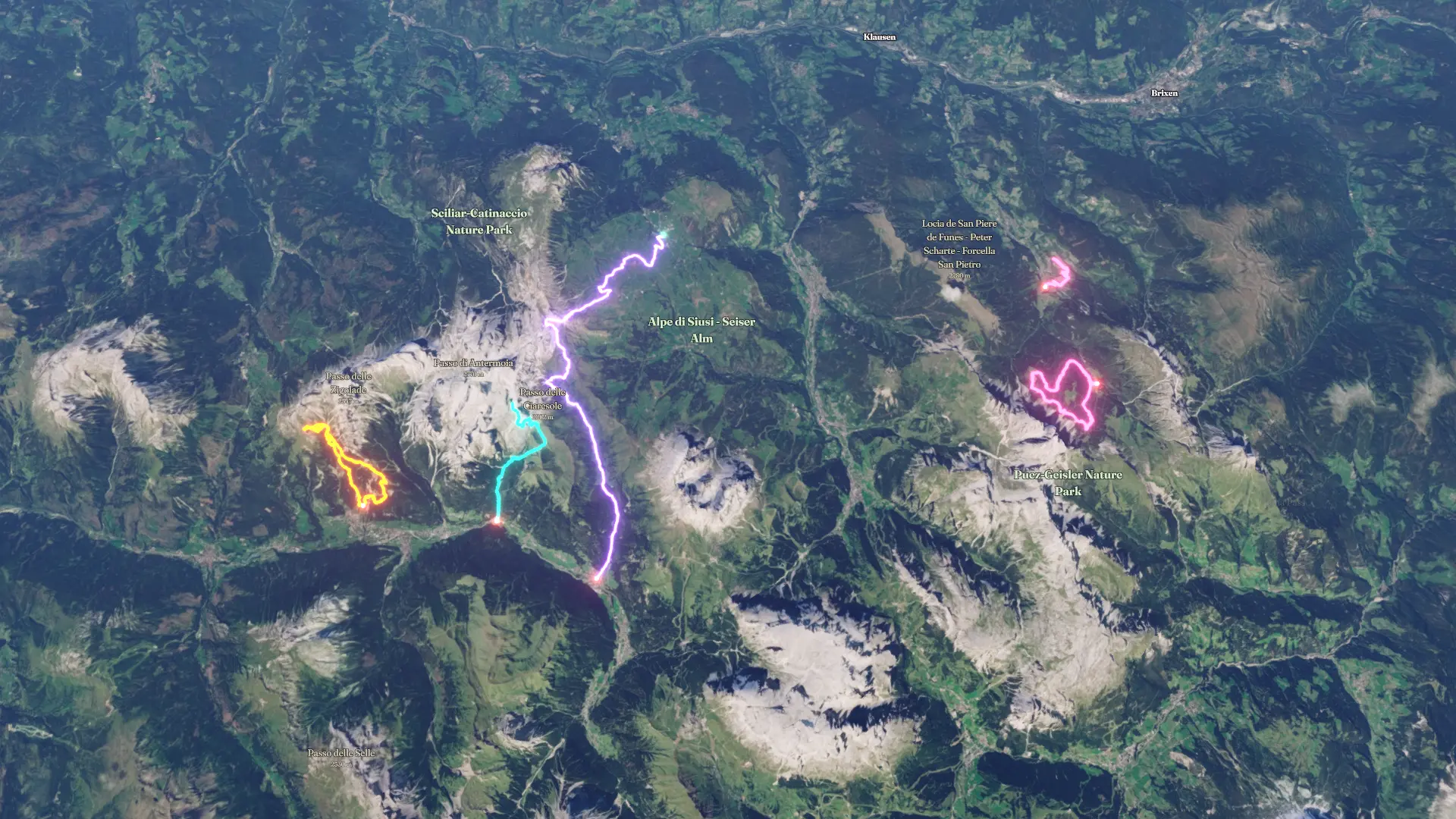
Dolomites Walks 2026by Toby
Walk
Dolomites Walks 2026
Jul 31, 2026 – Aug 3, 2026
T
Mapped by
Toby
The timeline
By the numbers
- Distance
- 57.0 km
- Ascent
- 3,455 m
- Descent
- 3,874 m
- Moving time
- 22h 40m
Elevation profile
1,253 m → 2,507 m
Drag across the profile to follow the route on the map.
More stats
- Avg speed (moving)
- 2.5 km/h
- Avg speed
- 2.5 km/h
- Time
- 22h 40m
Per leg
Alpe di Siusi to Campitello di Fassa
- Distance
- 18.9 km
- Ascent
- 690 m
- Descent
- 1,109 m
- Moving
- 6h 30m
- Avg speed
- 2.9 km/h
Cascate di Soscorza - Lago Antermoia via Mazzin
- Distance
- 13.0 km
- Ascent
- 1,239 m
- Descent
- 1,240 m
- Moving
- 7h 00m
- Avg speed
- 1.9 km/h
Rifugio Ciampedie - Sella del Ciampaz
- Distance
- 10.7 km
- Ascent
- 882 m
- Descent
- 880 m
- Moving
- 4h 59m
- Avg speed
- 2.1 km/h
Viewpoint Santa Maddalena
- Distance
- 5.06 km
- Ascent
- 197 m
- Descent
- 197 m
- Moving
- 1h 19m
- Avg speed
- 3.8 km/h
Adolf Munkel Trail
- Distance
- 9.39 km
- Ascent
- 448 m
- Descent
- 448 m
- Moving
- 2h 50m
- Avg speed
- 3.3 km/h