

Loading
Mountaineering
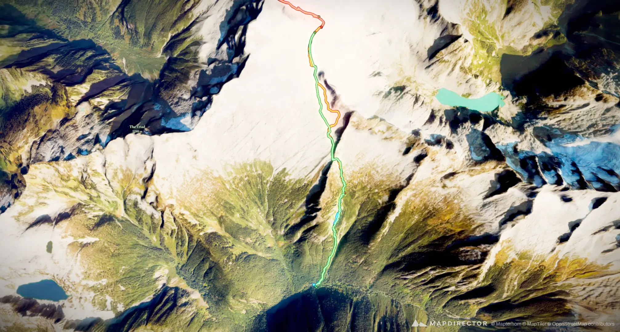
Eldorado Summit
May 30, 2026 – May 31, 2026

Mapped by
Spencer Oppocher
The timeline
By the numbers
- Distance
- 9.93 mi
- Ascent
- 6,667 ft
- Descent
- 6,742 ft
- Moving time
- 10h 34m
Elevation profile
2,157 ft → 8,851 ft
Drag across the profile to follow the route on the map.
More stats
- Avg speed (moving)
- 0.9 mph
- Avg speed
- 0.5 mph
- Time
- 18h 54m
- Avg heart rate
- 156 bpm
- Max heart rate
- 202 bpm
- Avg cadence
- 57 rpm
- Avg temperature
- 71.7 °F
Per leg
Eldorado TH to Camp
- Distance
- 2.32 mi
- Ascent
- 3,072 ft
- Descent
- -
- Moving
- 2h 28m
- Avg speed
- 0.9 mph
- Avg HR
- 177 bpm
- Max HR
- 202 bpm
- Avg cadence
- 58 rpm
- Avg temp
- 70.5 °F
activity_23085372350 (1) 222
- Distance
- 2.33 mi
- Ascent
- 2,482 ft
- Descent
- 147 ft
- Moving
- 2h 34m
- Avg speed
- 0.9 mph
- Avg HR
- 159 bpm
- Max HR
- 191 bpm
- Avg cadence
- 58 rpm
- Avg temp
- 71.5 °F
Skagit County Hiking
- Distance
- 1.14 mi
- Ascent
- 1,059 ft
- Descent
- 1,225 ft
- Moving
- 1h 33m
- Avg speed
- 0.7 mph
- Avg HR
- 142 bpm
- Max HR
- 178 bpm
- Avg cadence
- 65 rpm
- Avg temp
- 54.9 °F
Skagit County Hiking
- Distance
- 4.13 mi
- Ascent
- 54 ft
- Descent
- 5,370 ft
- Moving
- 3h 58m
- Avg speed
- 1.0 mph
- Avg HR
- 147 bpm
- Max HR
- 170 bpm
- Avg cadence
- 54 rpm
- Avg temp
- 81.9 °F