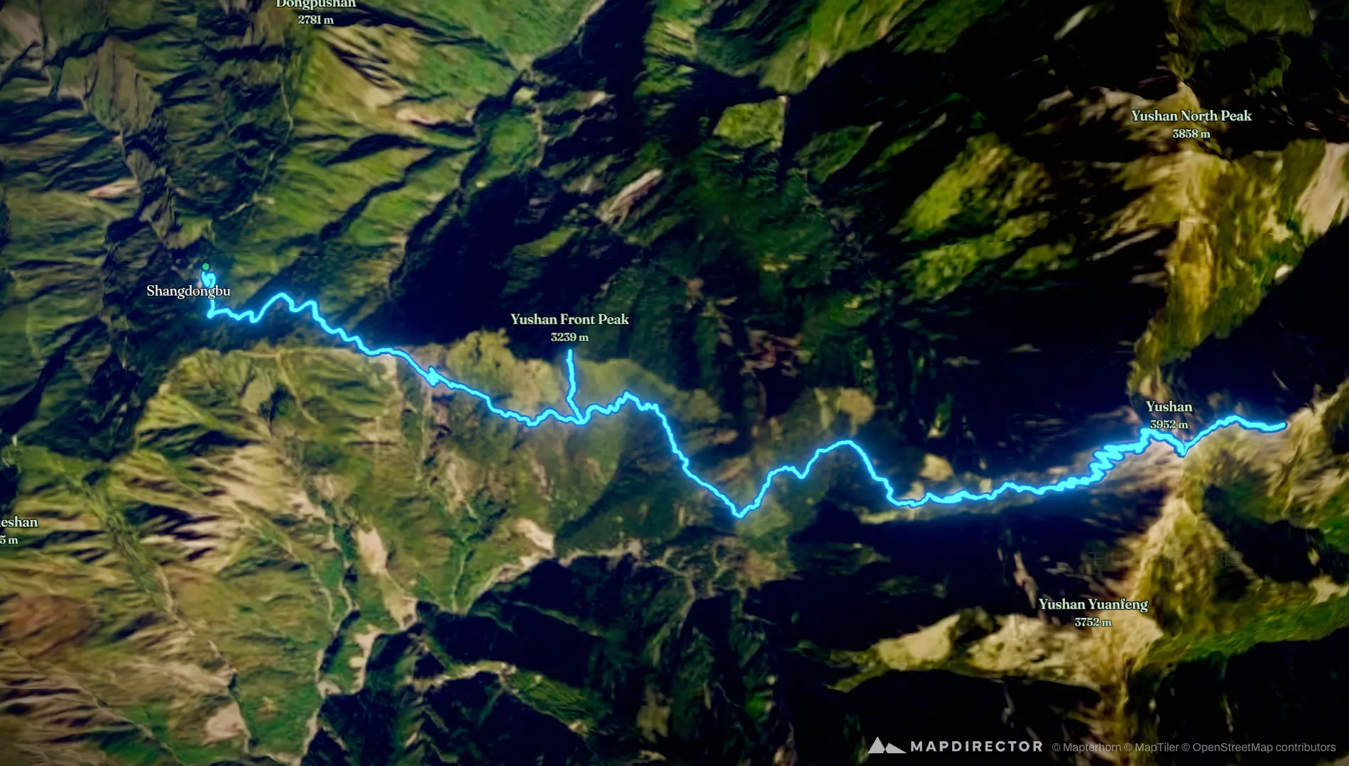


Loading
Mountaineering
信義鄉 登山
Aug 16, 2026 – Aug 17, 2026

Mapped by
林建宏
By the numbers
- Distance
- 30.5 km
- Ascent
- 2,357 m
- Descent
- 2,353 m
- Moving time
- 12h 55m
Elevation profile
2,584 m → 3,958 m
Drag across the profile to follow the route on the map.
More stats
- Avg speed (moving)
- 2.4 km/h
- Avg speed
- 1.1 km/h
- Time
- 1d 02h 51m
- Avg heart rate
- 122 bpm
- Max heart rate
- 159 bpm
- Avg temperature
- 21.9 °C