

Loading
Ride
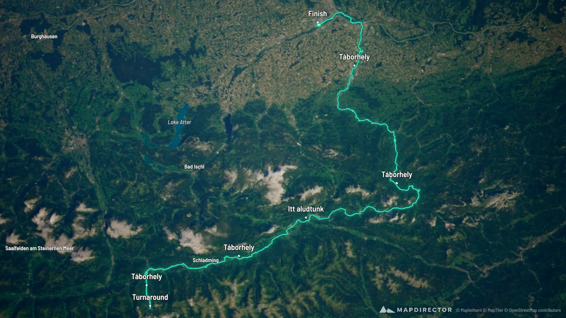
Ennsradweg Tatatúra 2026

Mapped by
János Lukács
The timeline
By the numbers
- Distance
- 315 km
- Ascent
- 1,418 m
- Descent
- 1,990 m
- Moving time
- -
Elevation profile
248 m → 1,141 m
Drag across the profile to follow the route on the map.
Ride
Mapped by
János Lukács
The timeline
By the numbers
Elevation profile
248 m → 1,141 m
Drag across the profile to follow the route on the map.