

Mapdirector
Loading
Escursione

Hike

Escursione

Jul 5, 2026

The timeline

By the numbers

Distance
19.1 km
Ascent
1,106 m
Descent
1,080 m
Moving time
6h 21m

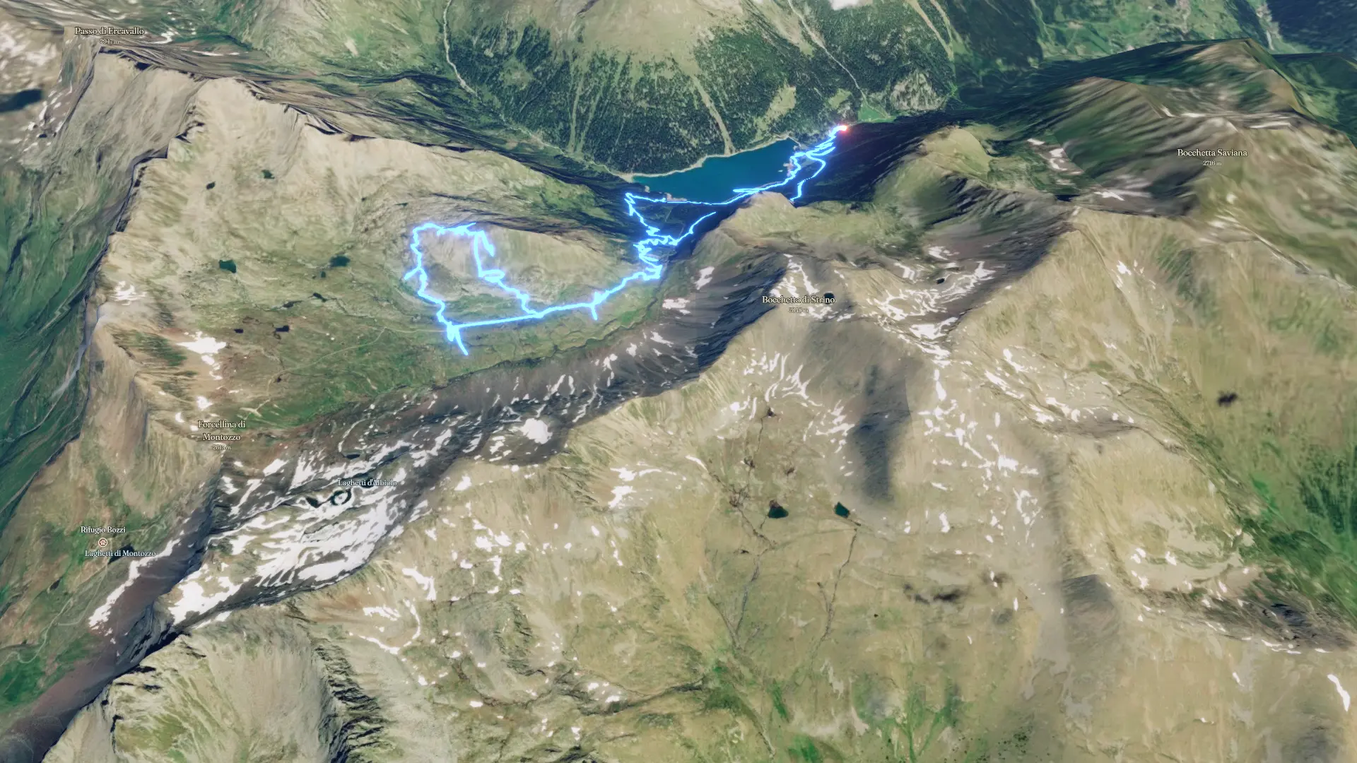
Elevation profile

1,676 m → 2,705 m

Drag across the profile to follow the route on the map.

More stats
Avg speed (moving)
3.0 km/h
Avg speed
2.4 km/h
Time
7h 52m

Enjoyed this

Send it to someone

Your turn

Make a page like this from your own track

Powered byMapdirector
  1. Sun, Jul 51.72 km · 9%·09:31

    09:31

  2. Sun, Jul 5 · 2 photos2.21 km · 12%·09:46

    09:46

  3. Sun, Jul 54.58 km · 24%·10:58

    10:58

  4. Sun, Jul 58.85 km · 46%·12:41

    12:41

  5. Sun, Jul 510.2 km · 53%·13:09

    13:09

  6. Sun, Jul 511.4 km · 59%·14:05

    14:05

  7. Sun, Jul 512.7 km · 66%·14:39

    14:39

  8. Not on the route

    These photos have no position on the route.