

Loading
Trail Run
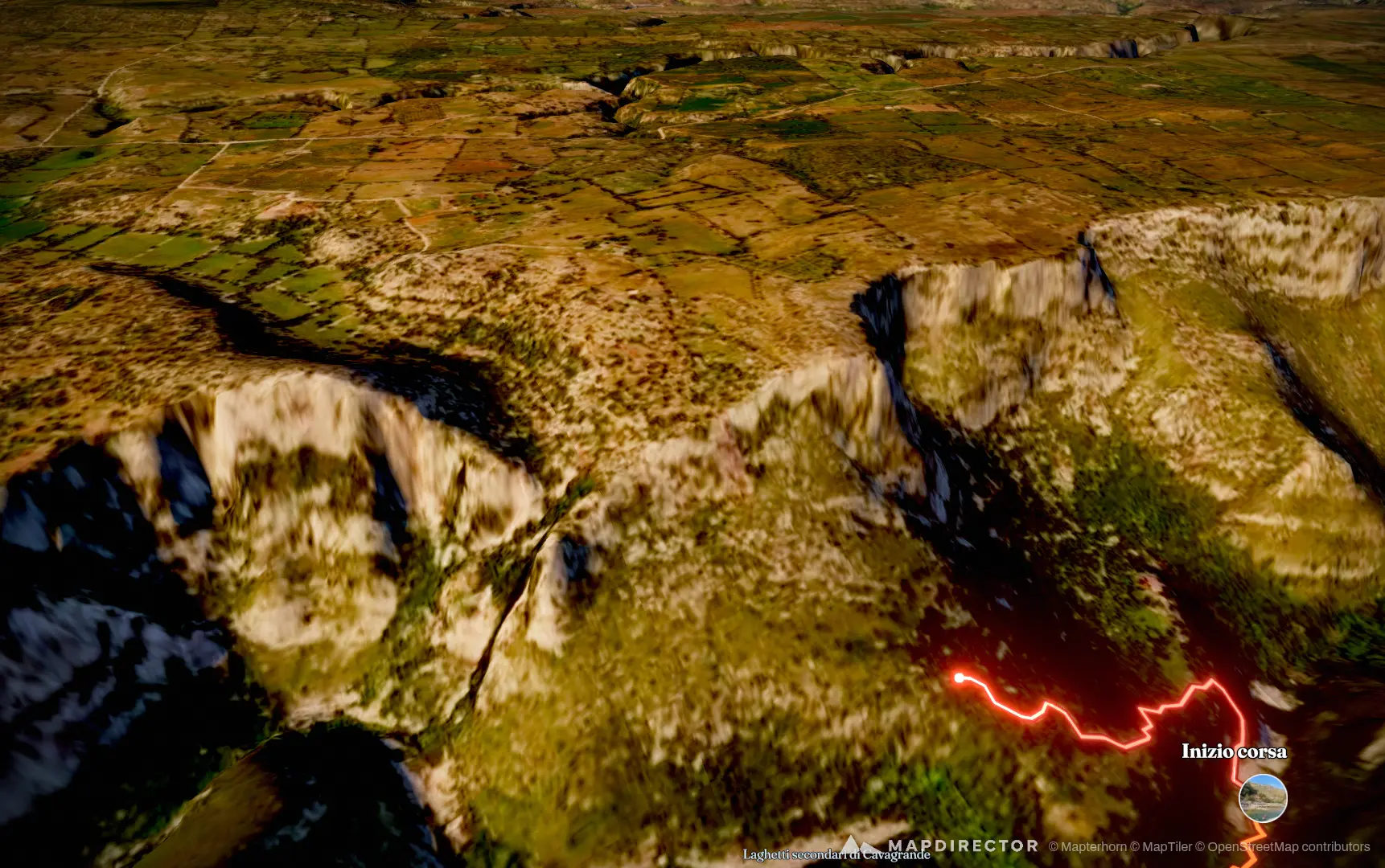
Escursione Cavgrande
Aug 13, 2026

Mapped by
Christian Cantavenera
The timeline
By the numbers
- Distance
- 14.4 km
- Ascent
- 671 m
- Descent
- 670 m
- Moving time
- 3h 17m
Elevation profile
205 m → 503 m
Drag across the profile to follow the route on the map.
More stats
- Avg speed (moving)
- 4.4 km/h
- Avg speed
- 3.6 km/h
- Time
- 3h 59m
Per leg
pre-pranzo
- Distance
- 2.98 km
- Ascent
- 9 m
- Descent
- 159 m
- Moving
- 43m 39s
- Avg speed
- 4.1 km/h
pre-laghetti
- Distance
- 4.15 km
- Ascent
- 77 m
- Descent
- 192 m
- Moving
- 49m 02s
- Avg speed
- 5.1 km/h
run-finale
- Distance
- 7.31 km
- Ascent
- 585 m
- Descent
- 320 m
- Moving
- 1h 44m
- Avg speed
- 4.2 km/h