

Mapdirector
Loading
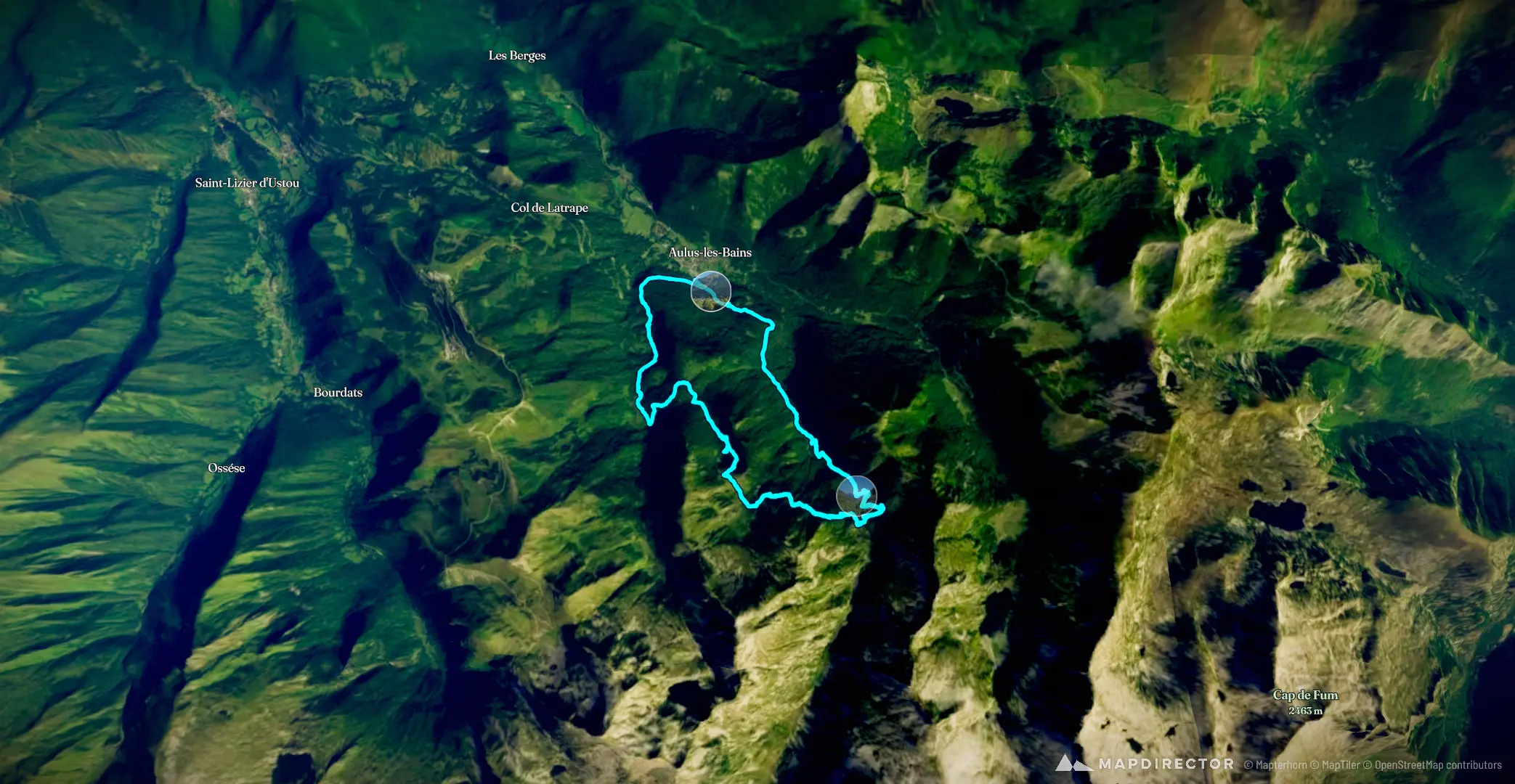
Étang de Guzet par la cascade d'Arsby VAZ NIC

Hike

Étang de Guzet par la cascade d'Ars

Aug 7, 2026

Mapped by

VAZ NIC

The timeline

By the numbers

Distance
14.1 km
Ascent
875 m
Descent
882 m
Moving time
4h 16m

Elevation profile

769 m → 1,594 m

Drag across the profile to follow the route on the map.

More stats
Avg speed (moving)
3.3 km/h
Avg speed
2.0 km/h
Time
7h 01m
Avg heart rate
127 bpm
Max heart rate
158 bpm
Avg cadence
56 rpm

Enjoyed this

Send it to someone

Your turn

Make a page like this from your own track

Powered byMapdirector
  1. Fri, Aug 7 · 2 photos51 m · 0%·08:45

    08:45 – 08:48

  2. Fri, Aug 73.69 km · 26%·09:58

    09:58

  3. Fri, Aug 74.11 km · 29%·10:14

    10:14

  4. Fri, Aug 7 · 3 photos4.31 km · 31%·10:30

    10:30 – 10:38

  5. Fri, Aug 7 · 4 photos5.42 km · 38%·11:34

    11:34 – 11:43

  6. Fri, Aug 77.88 km · 56%·13:05

    13:05

  7. Fri, Aug 78.57 km · 61%·13:20

    13:20

  8. Fri, Aug 7 · 2 photos9.32 km · 66%·14:09

    14:09 – 14:18