

Loading
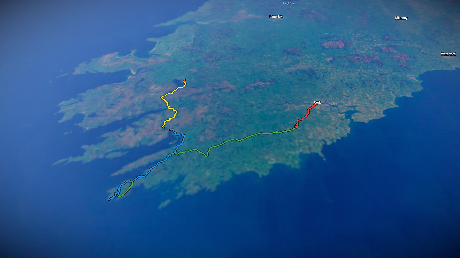
Bikepacking
Evening Ride
Aug 11, 2026 – Aug 14, 2026

Mapped by
Sol
The timeline
By the numbers
- Distance
- 269 km
- Ascent
- 2,058 m
- Descent
- 2,034 m
- Moving time
- 13h 29m
Elevation profile
-76 m → 243 m
Drag across the profile to follow the route on the map.
More stats
- Avg speed (moving)
- 20.0 km/h
- Avg speed
- 9.7 km/h
- Time
- 1d 03h 52m
- Avg heart rate
- 84 bpm
- Max heart rate
- 84 bpm
- Avg temperature
- 27.0 °C
Per leg
Evening Ride
- Distance
- 29.6 km
- Ascent
- 238 m
- Descent
- 253 m
- Moving
- 1h 39m
- Avg speed
- 17.9 km/h
- Avg HR
- 84 bpm
- Max HR
- 84 bpm
- Avg temp
- 23.8 °C
Morning Ride
- Distance
- 111 km
- Ascent
- 639 m
- Descent
- 617 m
- Moving
- 5h 22m
- Avg speed
- 20.6 km/h
- Avg temp
- 27.9 °C
Lunch Ride
- Distance
- 72.3 km
- Ascent
- 559 m
- Descent
- 583 m
- Moving
- 3h 19m
- Avg speed
- 21.8 km/h
- Avg temp
- 28.9 °C
Lunch Ride
- Distance
- 57.0 km
- Ascent
- 621 m
- Descent
- 581 m
- Moving
- 3h 08m
- Avg speed
- 18.2 km/h
- Avg temp
- 25.2 °C