

Loading
Run
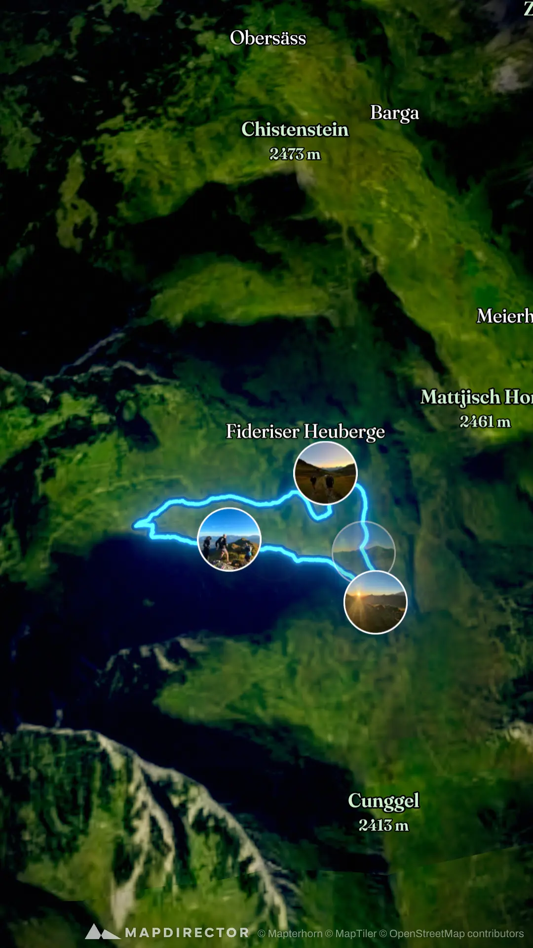
Fideriser Heuberge - Glattwang Ridgeline Photo Shoot
23 Aug 20265/ 5
The timeline
By the numbers
- Distance
- 9.57 km
- Ascent
- 523 m
- Descent
- 526 m
- Moving time
- 2h 07m
Elevation profile
1,998 m → 2,380 m
Drag across the profile to follow the route on the map.
More stats
- Avg speed (moving)
- 4.5 km/h
- Avg speed
- 3.5 km/h
- Time
- 2h 43m
- Avg cadence
- 61 rpm
- Avg power
- 126 W
- Avg temperature
- 19.2 °C