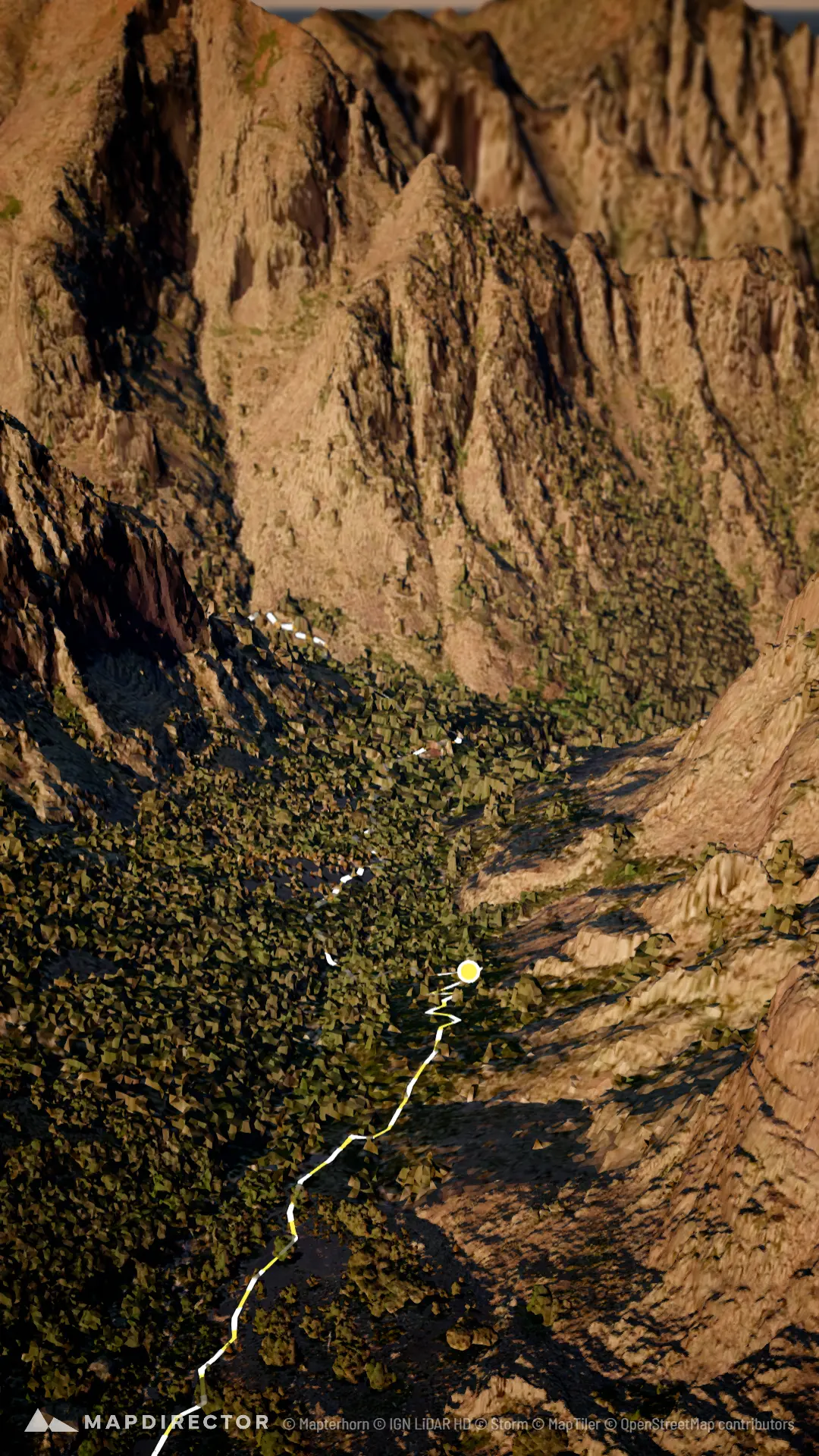


Loading
Trail Run
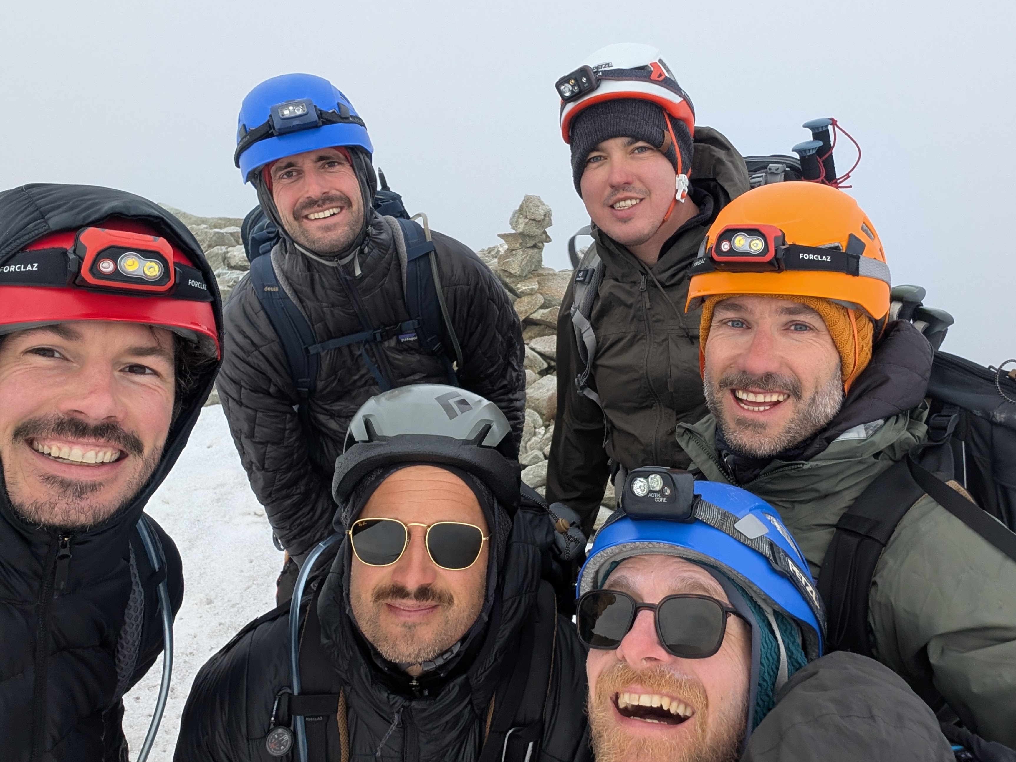
GR20
Sep 18, 2026 – Sep 19, 2026
Mapped by
Mapdirector
By the numbers
- Distance
- 170 km
- Ascent
- 11 146 m
- Descent
- 11 155 m
- Moving time
- 1d 13h 54m
Elevation profile
322 m → 2 230 m
Drag across the profile to follow the route on the map.
More stats
- Avg speed (moving)
- 4.5 km/h
- Avg speed
- 4.4 km/h
- Time
- 1d 14h 42m