

Loading
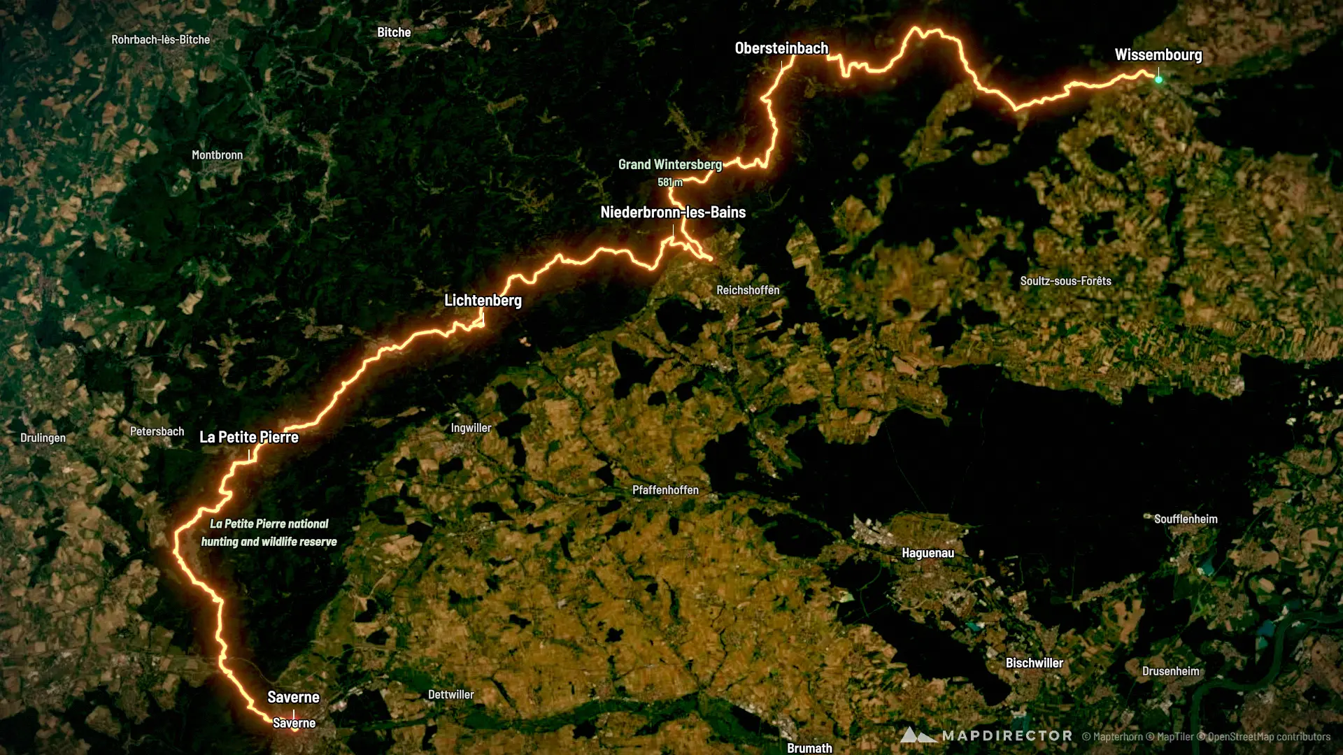
Multi-day Hike
GR53

Mapped by
Oscar Ho Dang
The timeline
By the numbers
- Distance
- 107 km
- Ascent
- 3,220 m
- Descent
- 3,191 m
- Moving time
- -
Elevation profile
158 m → 581 m
Drag across the profile to follow the route on the map.
Multi-day Hike
Mapped by
Oscar Ho Dang
The timeline
By the numbers
Elevation profile
158 m → 581 m
Drag across the profile to follow the route on the map.
Début de l'aventure
Tue, Jul 289.31 km · 9%·11:03
11:03
Fin du J1
Wed, Jul 2935.3 km · 33%·11:42
11:42
Wed, Jul 2937.8 km · 35%·13:58
13:58
Fin du J2
Thu, Jul 3050.6 km · 47%·10:56
10:56
Fin du J3
Thu, Jul 3066.9 km · 63%·20:15
20:15
Fin du J4
Fri, Jul 3183.9 km · 79%·22:04
22:04
Sun, Aug 2106 km · 99%·06:52
06:52
Fin du J5 et de l'aventure