

Loading
GRP Tour du Pays de Donezanby Christophe
Multi-day Hike
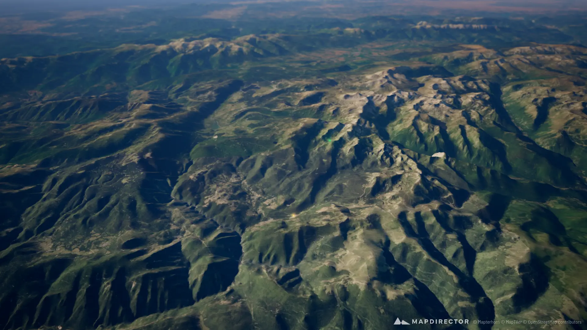
GRP Tour du Pays de Donezan
Sep 26, 2026 – Sep 27, 2026
The timeline
By the numbers
- Distance
- 51.3 km
- Ascent
- 2,364 m
- Descent
- 2,362 m
- Moving time
- 12h 25m
Elevation profile
905 m → 2,523 m
Drag across the profile to follow the route on the map.
More stats
- Avg speed (moving)
- 4.1 km/h
- Avg speed
- 3.0 km/h
- Time
- 17h 10m
- Avg cadence
- 58 rpm
Per leg
GRP Tour du Pays de Donezan - Jour 1
- Distance
- 29.0 km
- Ascent
- 1,300 m
- Descent
- 489 m
- Moving
- 6h 04m
- Avg speed
- 4.8 km/h
- Avg cadence
- 58 rpm
GRP Tour du Pays du Donezan - jour 2
- Distance
- 22.3 km
- Ascent
- 1,064 m
- Descent
- 1,873 m
- Moving
- 6h 21m
- Avg speed
- 3.5 km/h
- Avg cadence
- 58 rpm