

Loading
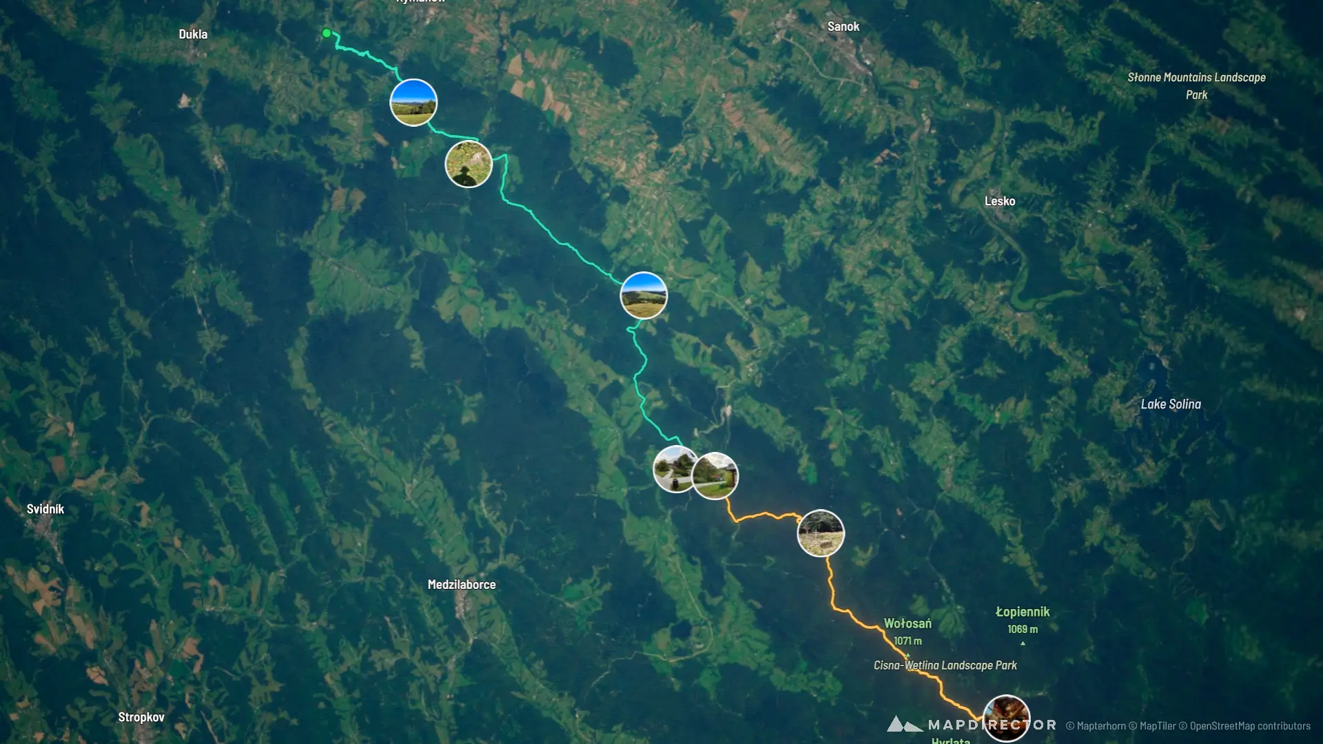
GSB - Iwonicz-Zdrój - Cisna
Multi-day Hike
GSB - Iwonicz-Zdrój - Cisna
16 Sep 2026 – 17 Sep 2026
The timeline
By the numbers
- Distance
- 78.6 km
- Ascent
- 2,606 m
- Descent
- 2,426 m
- Moving time
- 20h 48m
Elevation profile
369 m → 1,073 m
Drag across the profile to follow the route on the map.
More stats
- Avg speed (moving)
- 3.8 km/h
- Avg speed
- 3.5 km/h
- Time
- 22h 13m
- Avg heart rate
- 113 bpm
- Max heart rate
- 155 bpm
- Avg cadence
- 53 rpm
Per leg
GSB #15 Iwonicz-Zdrój - Komańcza
- Distance
- 46.1 km
- Ascent
- 1,425 m
- Descent
- 1,351 m
- Moving
- 10h 50m
- Avg speed
- 4.3 km/h
- Avg HR
- 118 bpm
- Max HR
- 155 bpm
- Avg cadence
- 53 rpm
GSB #16 Komańcza - Cisna
- Distance
- 32.5 km
- Ascent
- 1,181 m
- Descent
- 1,075 m
- Moving
- 9h 58m
- Avg speed
- 3.3 km/h
- Avg HR
- 108 bpm
- Max HR
- 138 bpm
- Avg cadence
- 54 rpm