

Loading
Bikepacking
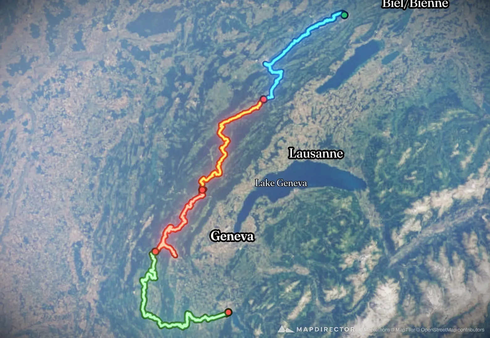
GTJ 1
Aug 8, 2026 – Aug 11, 2026

Mapped by
Euan Fisher
The timeline
By the numbers
- Distance
- 380 km
- Ascent
- 5,954 m
- Descent
- 6,628 m
- Moving time
- 1d 00h 34m
Elevation profile
243 m → 1,315 m
Drag across the profile to follow the route on the map.
More stats
- Avg speed (moving)
- 15.5 km/h
- Avg speed
- 10.4 km/h
- Time
- 1d 12h 23m
- Avg heart rate
- 126 bpm
- Max heart rate
- 175 bpm
- Avg temperature
- 29.8 °C
Per leg
GTJ 1
- Distance
- 91.2 km
- Ascent
- 1,264 m
- Descent
- 1,480 m
- Moving
- 5h 54m
- Avg speed
- 15.4 km/h
- Avg HR
- 128 bpm
- Max HR
- 175 bpm
- Avg temp
- 30.2 °C
GTJ 2
- Distance
- 83.2 km
- Ascent
- 1,356 m
- Descent
- 1,118 m
- Moving
- 5h 28m
- Avg speed
- 15.2 km/h
- Avg HR
- 125 bpm
- Max HR
- 163 bpm
- Avg temp
- 25.7 °C
GTJ 3
- Distance
- 84.0 km
- Ascent
- 1,204 m
- Descent
- 1,472 m
- Moving
- 5h 04m
- Avg speed
- 16.6 km/h
- Avg HR
- 126 bpm
- Max HR
- 171 bpm
- Avg temp
- 30.2 °C
GTJ 4
- Distance
- 122 km
- Ascent
- 2,130 m
- Descent
- 2,558 m
- Moving
- 8h 06m
- Avg speed
- 15.0 km/h
- Avg HR
- 125 bpm
- Max HR
- 166 bpm
- Avg temp
- 32.2 °C