

Loading
Hike
Haindlkarhütte
Sep 3, 2026

Mapped by
Alois Fahrleitner
The story
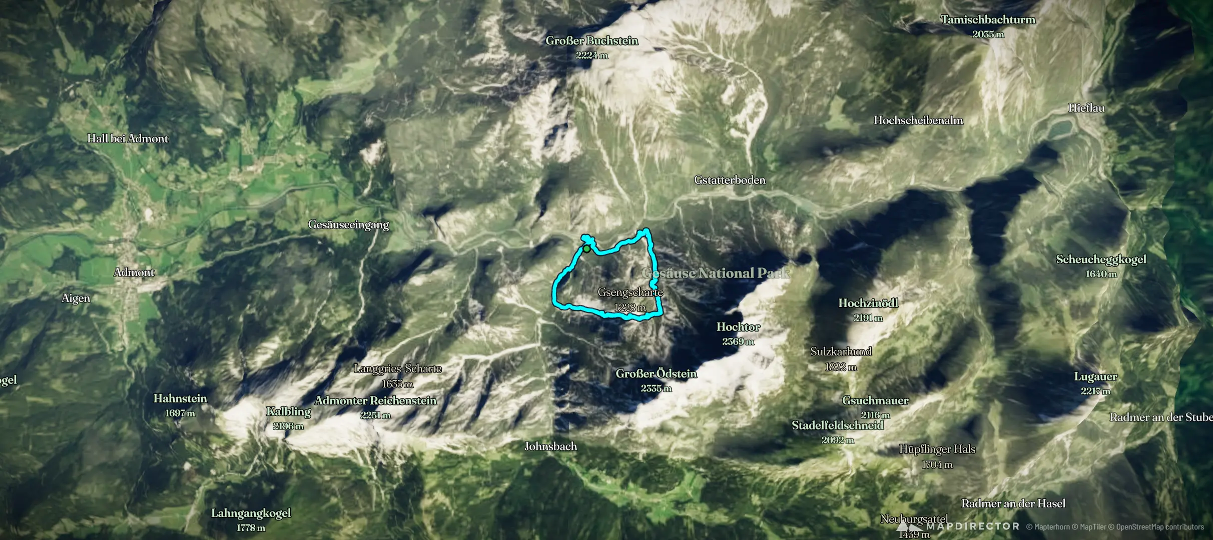
Donnerstag, 03.September 2026 Parkplatz Weidendom Aufstieg über Gsenggraben und Gsengscharte Abstieg über den Haindlkargraben
The timeline
By the numbers
- Distance
- 10.1 km
- Ascent
- 612 m
- Descent
- 625 m
- Moving time
- 4h 04m
Elevation profile
572 m → 1,197 m
Drag across the profile to follow the route on the map.
More stats
- Avg speed (moving)
- 2.5 km/h
- Avg speed
- 1.3 km/h
- Time
- 7h 42m