

Loading
Rowing
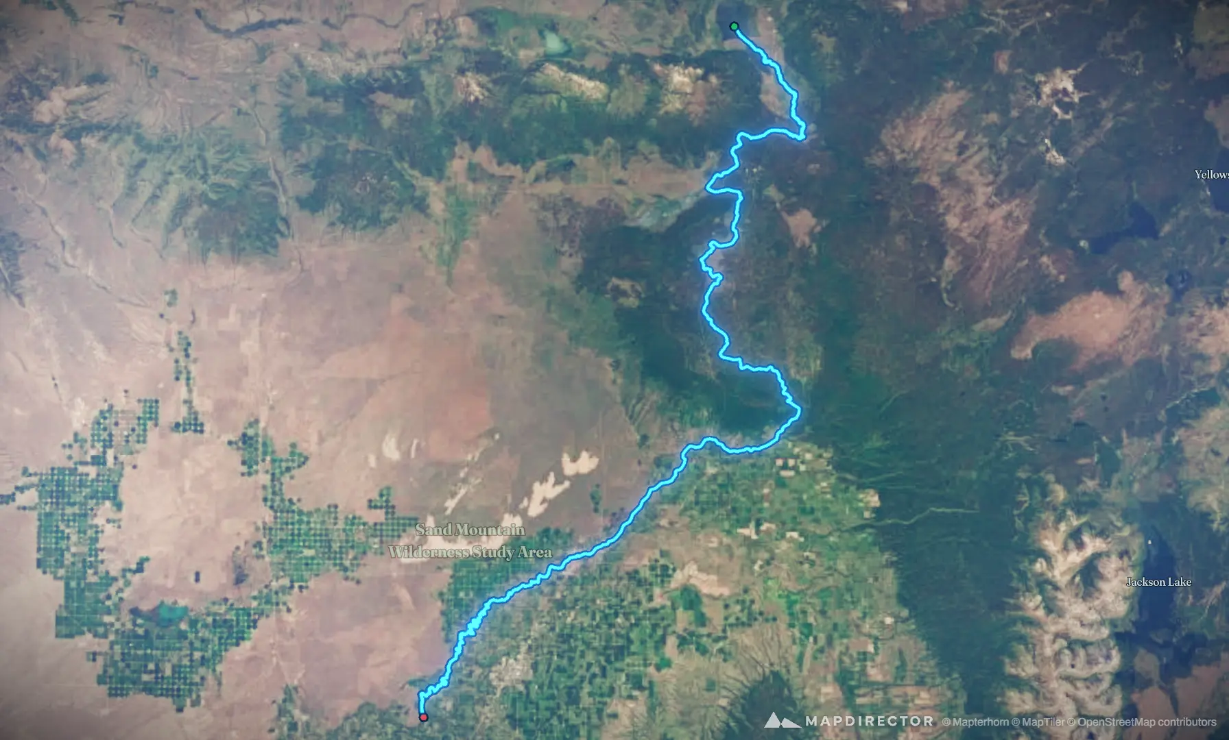
Henrys Fork

Mapped by
Brett High
The timeline
By the numbers
- Distance
- 199 km
- Ascent
- 16 m
- Descent
- 525 m
- Moving time
- -
Elevation profile
1,465 m → 1,975 m
Drag across the profile to follow the route on the map.
Rowing
Mapped by
Brett High
The timeline
By the numbers
Elevation profile
1,465 m → 1,975 m
Drag across the profile to follow the route on the map.
Sat, Jul 60 m · 0%·17:20
Henrys Lake from Sawtelle Peak
1.54 km · 1%
State Record Catch and Release Hybrid
Mon, May 163.30 km · 2%·14:07
14:07
Tue, Sep 3 · 2 photos24.2 km · 12%·16:06
Big Springs
Tue, Jun 1751.9 km · 26%·16:38
Precision water management
Fri, Oct 396.7 km · 48%·16:37
Upper Mesa Falls
Tue, Nov 6123 km · 62%·18:07
State Record Brown Trout
Sat, May 25131 km · 66%·14:00
Salmonfly