

Loading
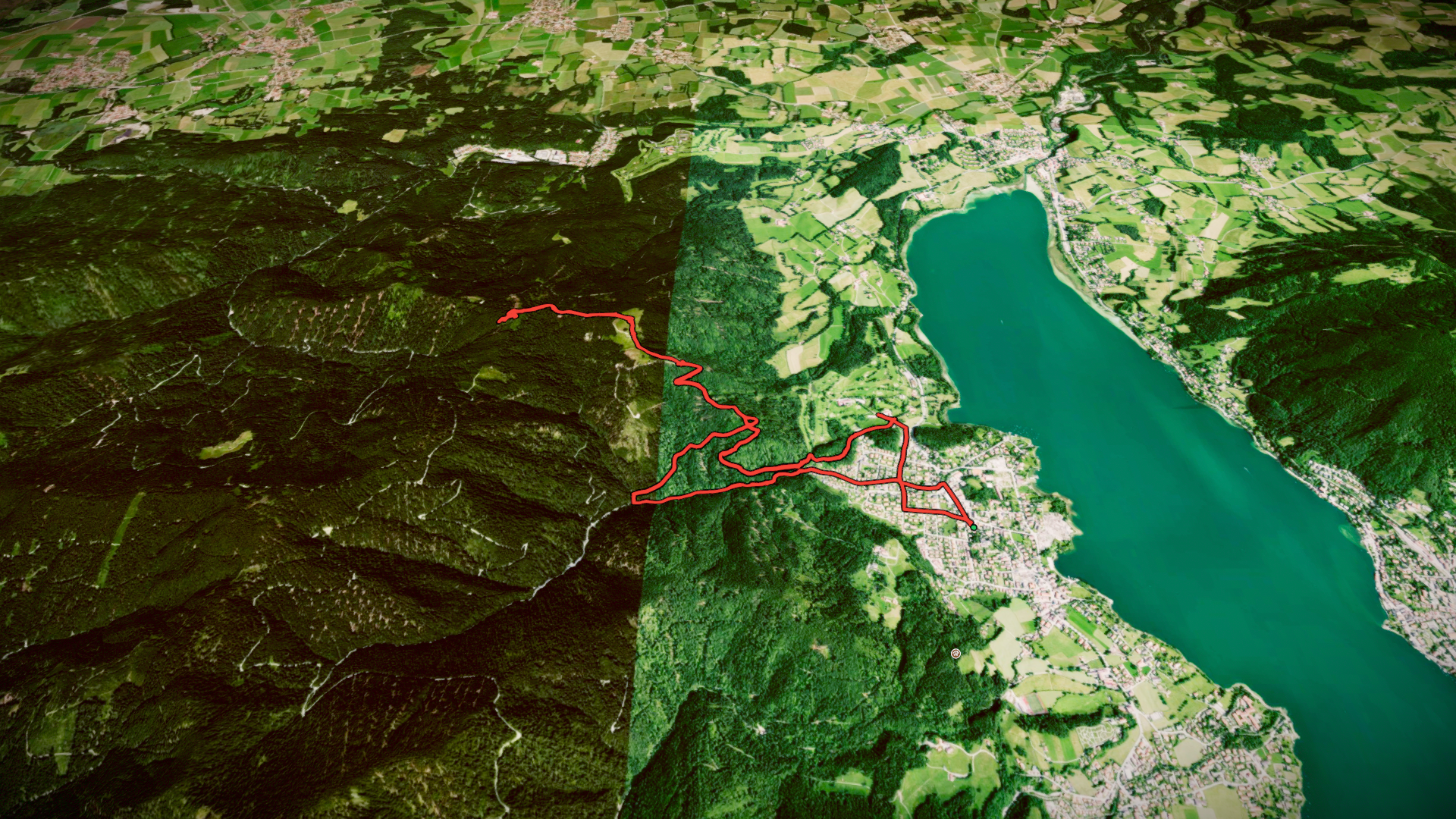
Hiking Wasenkogel Breitenbachby Fabio Teixeira
Hike
Hiking Wasenkogel Breitenbach
8 Aug 2026
By the numbers
- Distance
- 12,7 km
- Ascent
- 555 m
- Descent
- 550 m
- Moving time
- 3h 50m
Elevation profile
742 m → 1.266 m
Drag across the profile to follow the route on the map.
More stats
- Avg speed (moving)
- 3,3 km/h
- Avg speed
- 2,9 km/h
- Time
- 4h 22m
- Avg heart rate
- 87 bpm
- Max heart rate
- 147 bpm