

Loading
Trail Run
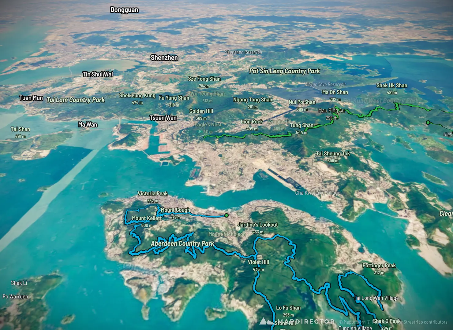
Hong Kong Trail

Mapped by
Louis Perrot
The timeline
By the numbers
- Distance
- 164 km
- Ascent
- 7,261 m
- Descent
- 7,128 m
- Moving time
- -
Elevation profile
-5 m → 557 m
Drag across the profile to follow the route on the map.
More stats
Per leg
Hong Kong Trail
- Distance
- 61.8 km
- Ascent
- 2,725 m
- Descent
- 2,744 m
- Moving
- -
MacLehose Trail
- Distance
- 57.3 km
- Ascent
- 2,635 m
- Descent
- 2,482 m
- Moving
- -
TransLantau
- Distance
- 45.1 km
- Ascent
- 1,901 m
- Descent
- 1,901 m
- Moving
- -