

Loading
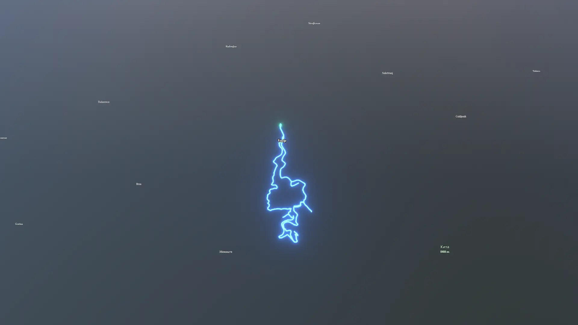
Kanjon Vučjanke
Hike
Kanjon Vučjanke
By the numbers
- Distance
- 9.70 km
- Ascent
- 427 m
- Descent
- 425 m
- Moving time
- -
Elevation profile
267 m → 553 m
Drag across the profile to follow the route on the map.
Hike
By the numbers
Elevation profile
267 m → 553 m
Drag across the profile to follow the route on the map.