

Loading
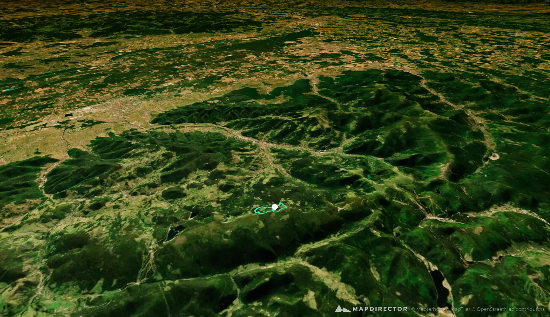
lac-vert-zum-gipfel-le-tanet-wanderung-hochvogesen
Hike
lac-vert-zum-gipfel-le-tanet-wanderung-hochvogesen
By the numbers
- Distance
- 5.16 km
- Ascent
- 242 m
- Descent
- 241 m
- Moving time
- -
Elevation profile
1 056 m → 1 276 m
Drag across the profile to follow the route on the map.