

Loading
Hike
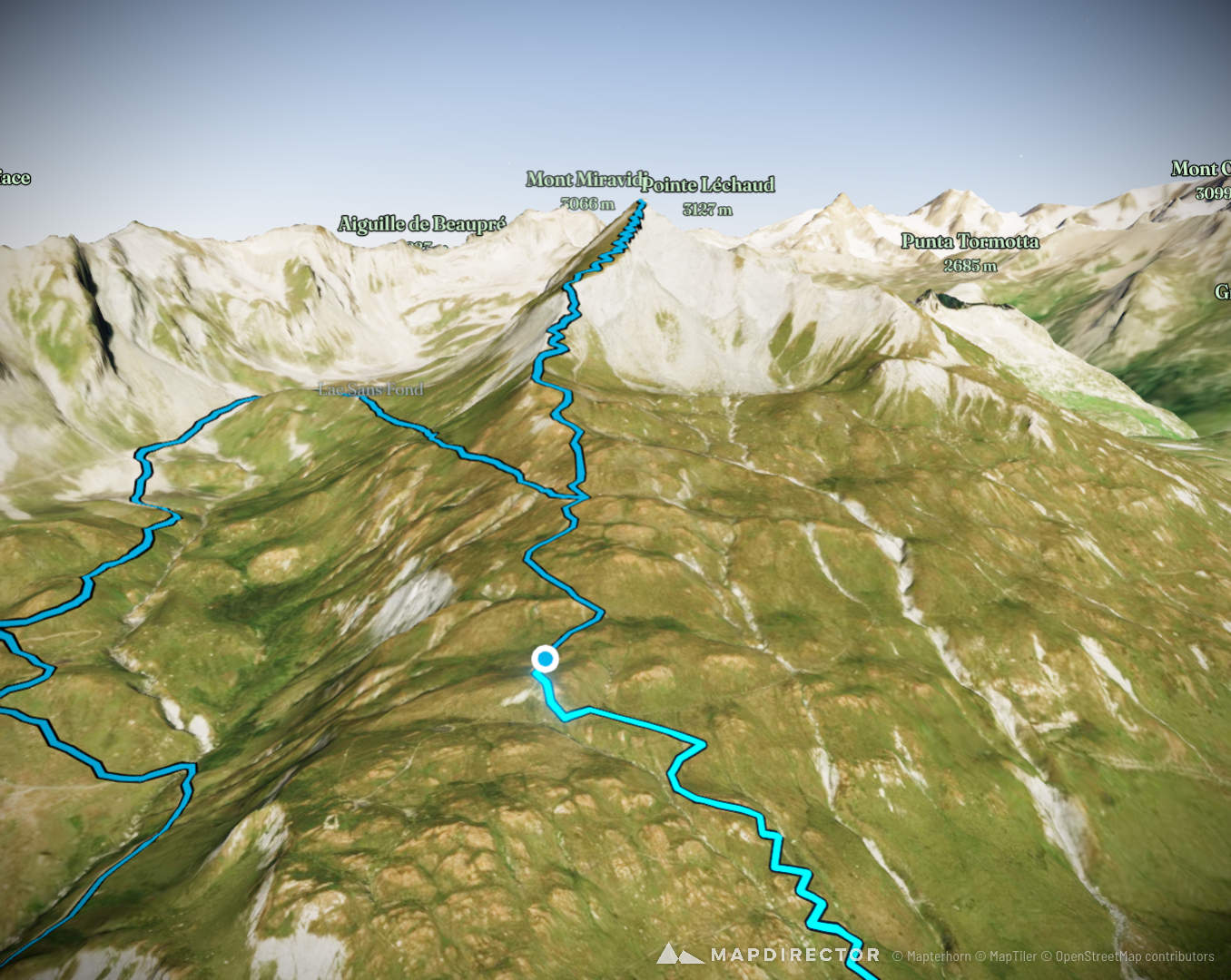
Lancebranlette avec retour par le Lac sans Fond
Aug 15, 2016

Mapped by
Maxime Périgny
By the numbers
- Distance
- 9.53 km
- Ascent
- 837 m
- Descent
- 839 m
- Moving time
- 3h 54m
Elevation profile
2,120 m → 2,929 m
Drag across the profile to follow the route on the map.
More stats
- Avg speed (moving)
- 2.4 km/h
- Avg speed
- 1.4 km/h
- Time
- 6h 59m