

Loading
Rock Climbing
بخش مرکزی, Lorestan Province/Iran
Sep 18, 2026
The story
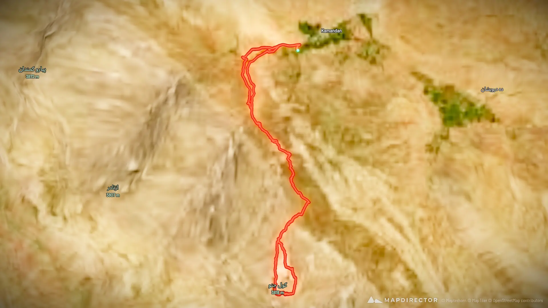
ترکینگ مسیر پیمایش رفت و برگشت از قله کول جنو
By the numbers
- Distance
- 19.6 km
- Ascent
- 1,752 m
- Descent
- 1,767 m
- Moving time
- 8h 32m
Elevation profile
2,047 m → 3,782 m
Drag across the profile to follow the route on the map.
More stats
- Avg speed (moving)
- 2.3 km/h
- Avg speed
- 1.2 km/h
- Time
- 16h 42m