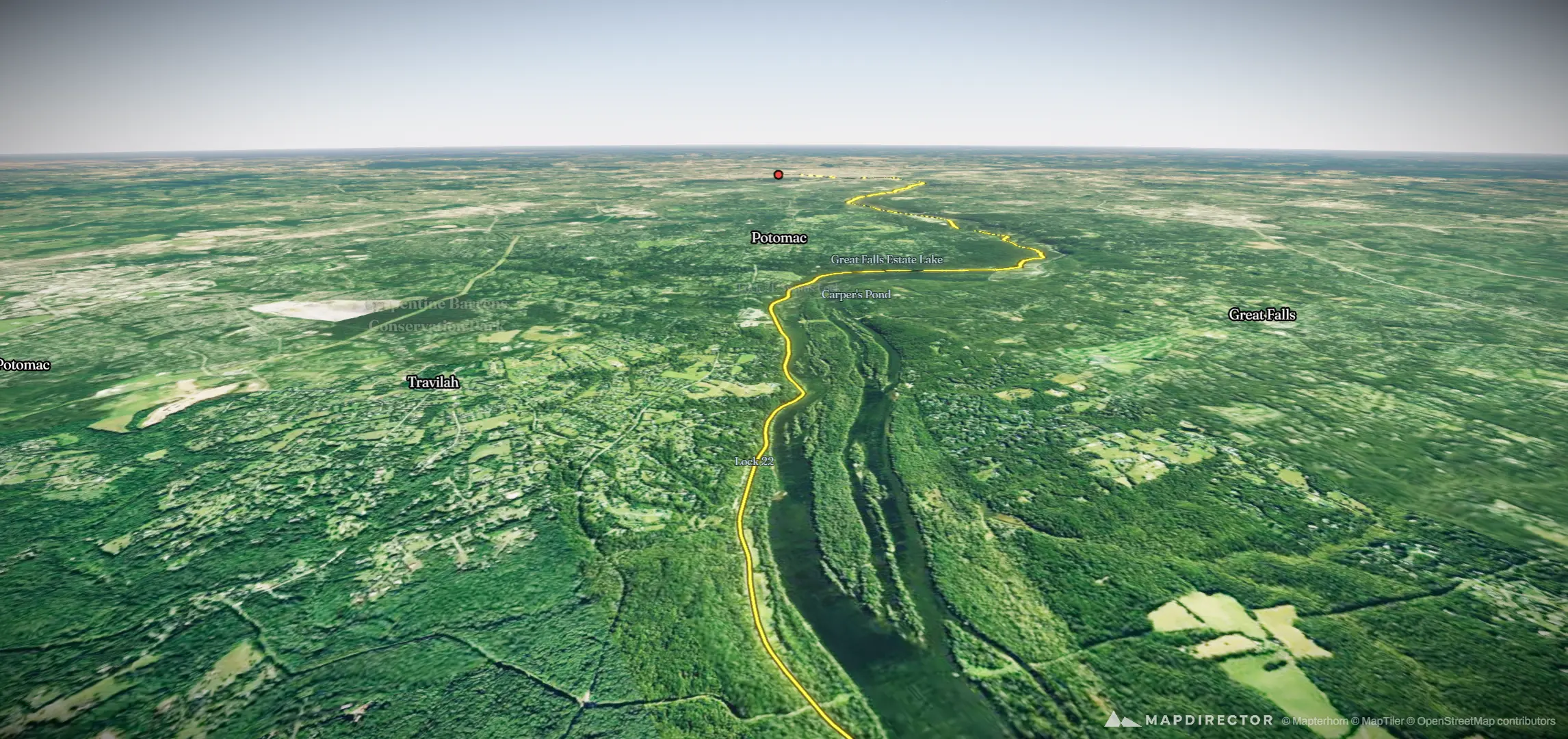


Loading
Lunch Ride
Ride
Lunch Ride
May 17, 2026 – May 21, 2026
The timeline
By the numbers
- Distance
- 565 km
- Ascent
- 755 m
- Descent
- 922 m
- Moving time
- 1d 02h 22m
Elevation profile
5 m → 732 m
Drag across the profile to follow the route on the map.
More stats
- Avg speed (moving)
- 21.4 km/h
- Avg speed
- 11.9 km/h
- Time
- 1d 23h 27m
- Avg temperature
- 26.8 °C
Per leg
Lunch Ride
- Distance
- 67.5 km
- Ascent
- 70 m
- Descent
- 44 m
- Moving
- 3h 07m
- Avg speed
- 21.6 km/h
- Avg temp
- 31.9 °C
Morning Ride
- Distance
- 127 km
- Ascent
- 422 m
- Descent
- 50 m
- Moving
- 6h 08m
- Avg speed
- 20.7 km/h
- Avg temp
- 29.3 °C
Morning Ride
- Distance
- 151 km
- Ascent
- 158 m
- Descent
- 615 m
- Moving
- 6h 41m
- Avg speed
- 22.7 km/h
- Avg temp
- 32.1 °C
Evening Ride
- Distance
- 111 km
- Ascent
- 47 m
- Descent
- 106 m
- Moving
- 5h 08m
- Avg speed
- 21.5 km/h
- Avg temp
- 25.5 °C
Morning Ride
- Distance
- 108 km
- Ascent
- 58 m
- Descent
- 108 m
- Moving
- 5h 16m
- Avg speed
- 20.5 km/h
- Avg temp
- 17.5 °C