

Loading
MERBABU
Hike
MERBABU
The timeline
By the numbers
- Distance
- 33.5 km
- Ascent
- 11,353 m
- Descent
- 126 m
- Moving time
- -
Elevation profile
0 m → 3,149 m
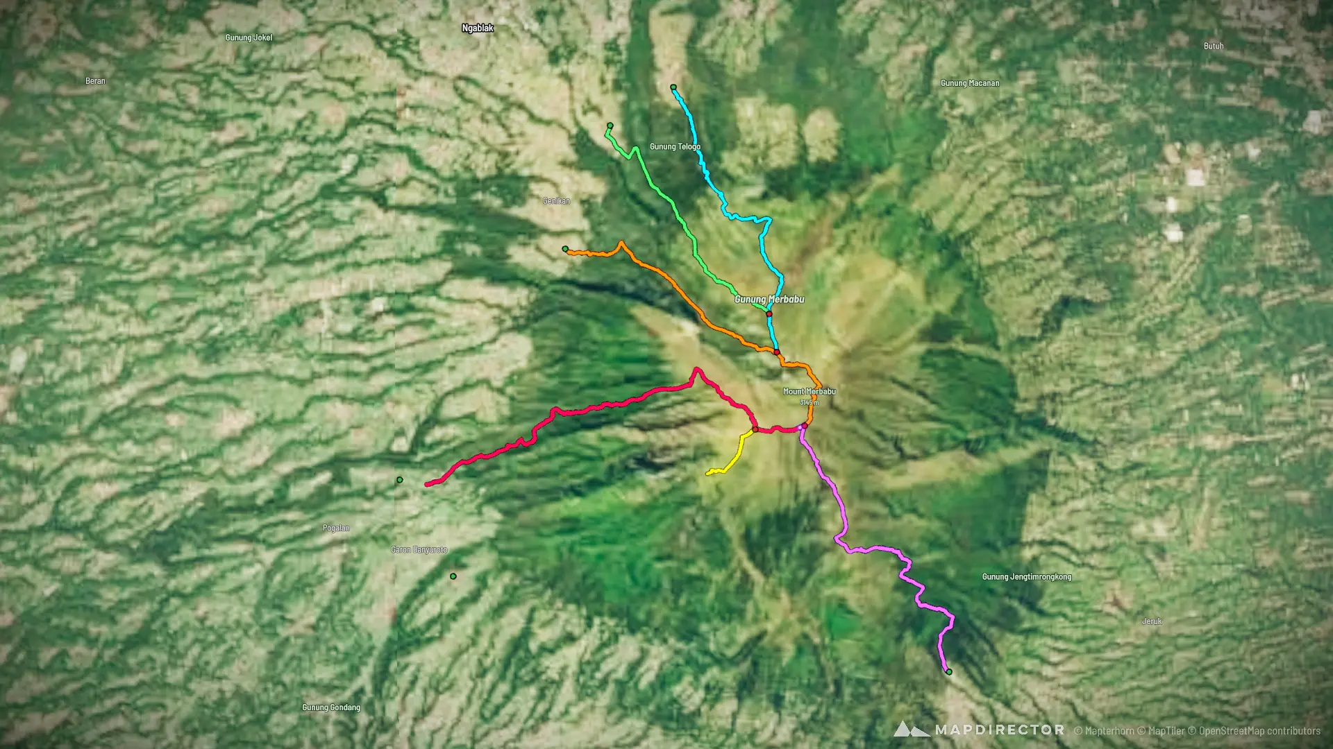
Drag across the profile to follow the route on the map.
More stats
Per leg
10 008
- Distance
- 5.38 km
- Ascent
- 1,219 m
- Descent
- 39 m
- Moving
- -
Track 609
- Distance
- 4.15 km
- Ascent
- 1,182 m
- Descent
- -
- Moving
- -
Track 617
- Distance
- 5.23 km
- Ascent
- 1,358 m
- Descent
- 10 m
- Moving
- -
Track 212 002
- Distance
- 7.86 km
- Ascent
- 3,217 m
- Descent
- 72 m
- Moving
- -
Track 611
- Distance
- 5.17 km
- Ascent
- 3,078 m
- Descent
- -
- Moving
- -
Track 616
- Distance
- 5.71 km
- Ascent
- 1,300 m
- Descent
- 4 m
- Moving
- -