

Loading
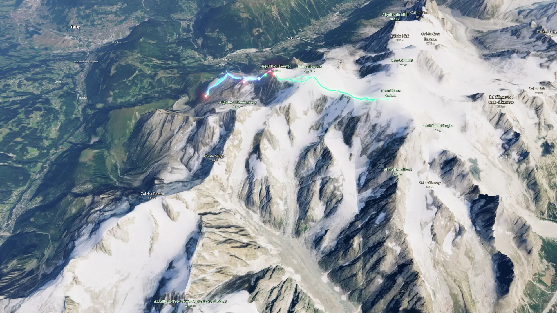
Mont Blanc
Hike
Mont Blanc
Jul 12, 2026 – Jul 14, 2026
The timeline
By the numbers
- Distance
- 18.5 km
- Ascent
- 2,397 m
- Descent
- 2,145 m
- Moving time
- 10h 17m
Elevation profile
2,398 m → 4,780 m
Drag across the profile to follow the route on the map.
More stats
- Avg speed (moving)
- 1.8 km/h
- Avg speed
- 1.4 km/h
- Time
- 12h 56m
Per leg
Nid d`Aigle to Tete Rousse
- Distance
- 3.31 km
- Ascent
- 741 m
- Descent
- 16 m
- Moving
- 1h 36m
- Avg speed
- 2.1 km/h
Tete Rousse to Gouter
- Distance
- 1.89 km
- Ascent
- 602 m
- Descent
- -
- Moving
- 1h 47m
- Avg speed
- 1.1 km/h
Gouter to Mont Blanc Summit
- Distance
- 8.51 km
- Ascent
- 1,036 m
- Descent
- 1,048 m
- Moving
- 4h 51m
- Avg speed
- 1.8 km/h
Gouter to Nid d`Aigle
- Distance
- 4.74 km
- Ascent
- 18 m
- Descent
- 1,080 m
- Moving
- 2h 02m
- Avg speed
- 2.3 km/h