

Loading
Mont Blanc
Hike
Mont Blanc
Aug 28, 2026 – Aug 30, 2026
The timeline
By the numbers
- Distance
- 29.6 km
- Ascent
- 3,859 m
- Descent
- 3,197 m
- Moving time
- 16h 19m
Elevation profile
1,764 m → 4,834 m
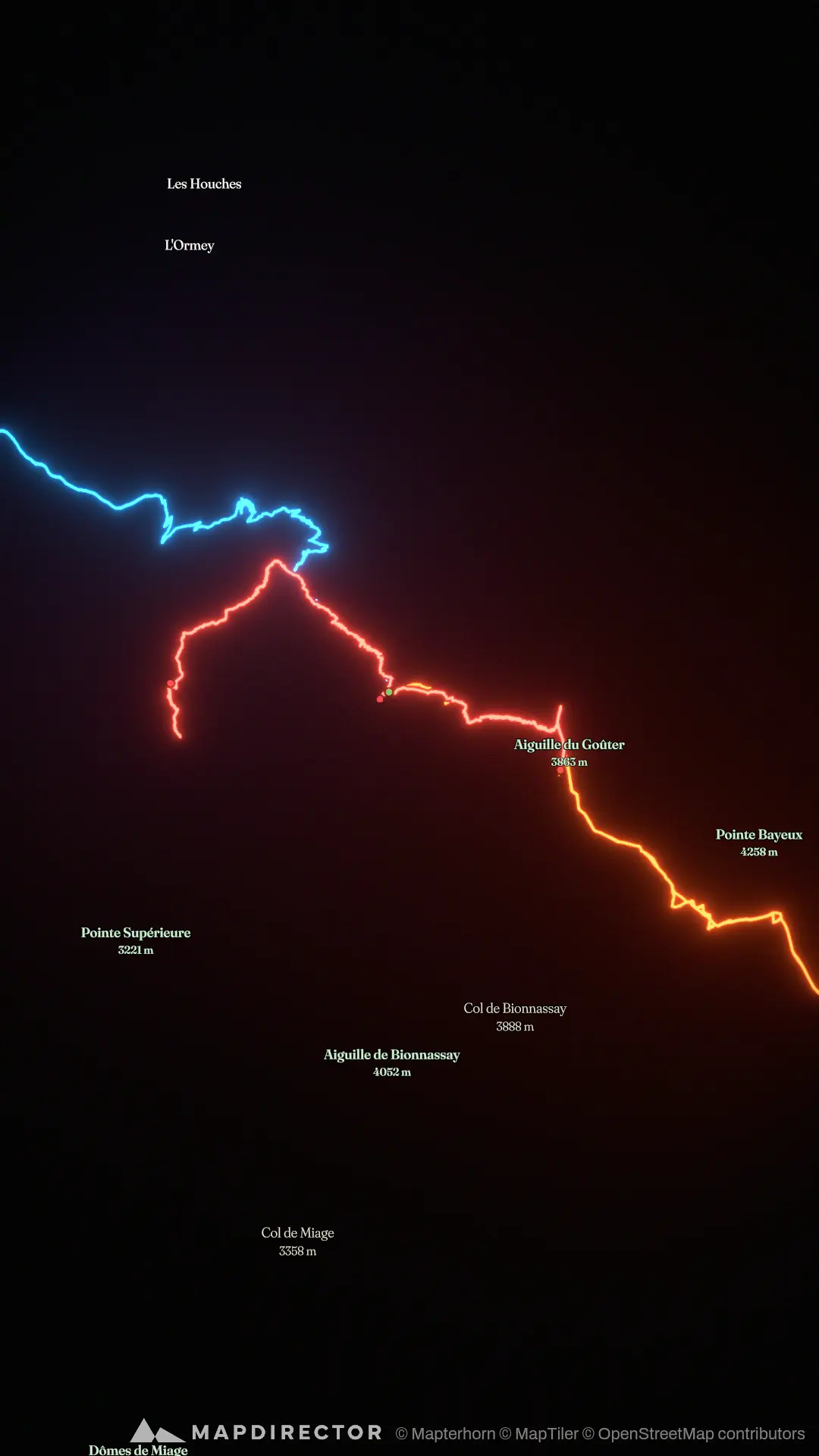
Drag across the profile to follow the route on the map.
More stats
- Avg speed (moving)
- 1.8 km/h
- Avg speed
- 1.3 km/h
- Time
- 22h 47m
- Avg cadence
- 59 rpm
Per leg
Refuge de Tête Rousse
- Distance
- 7.95 km
- Ascent
- 1,587 m
- Descent
- 181 m
- Moving
- 3h 40m
- Avg speed
- 2.2 km/h
- Avg cadence
- 65 rpm
Mont Blanc
- Distance
- 13.8 km
- Ascent
- 2,069 m
- Descent
- 1,388 m
- Moving
- 8h 39m
- Avg speed
- 1.6 km/h
- Avg cadence
- 54 rpm
Refuge du Gouter to Nid d'Aigle
- Distance
- 7.87 km
- Ascent
- 203 m
- Descent
- 1,628 m
- Moving
- 3h 59m
- Avg speed
- 2.0 km/h
- Avg cadence
- 52 rpm