

Loading
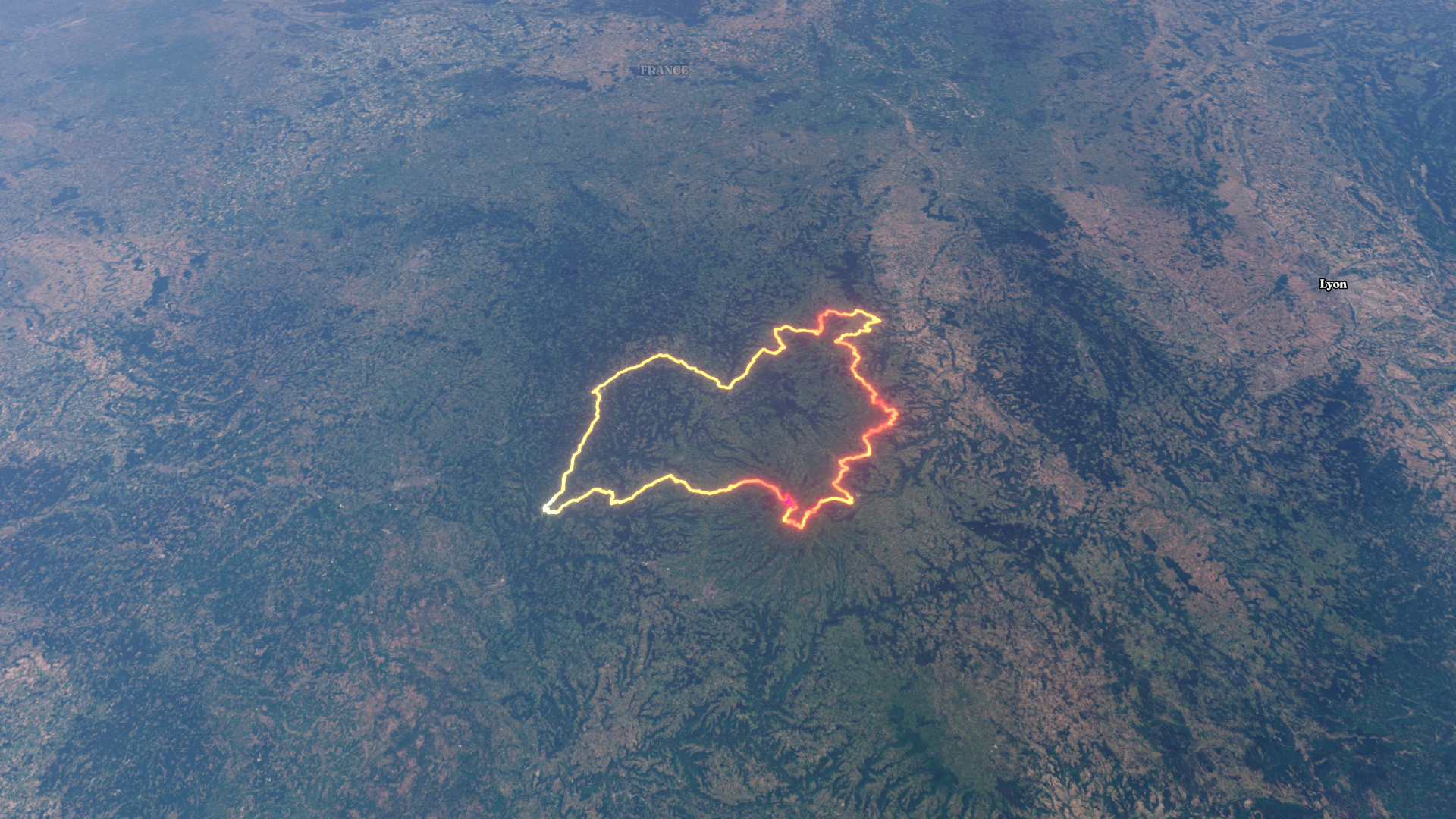
Monts d'Auvergneby Magello
Motorcycle
Monts d'Auvergne
M
Mapped by
Magello
By the numbers
- Distance
- 416 km
- Ascent
- 5 866 m
- Descent
- 5 824 m
- Moving time
- -
Elevation profile
180 m → 1 564 m
Drag across the profile to follow the route on the map.
Motorcycle
Mapped by
Magello
By the numbers
Elevation profile
180 m → 1 564 m
Drag across the profile to follow the route on the map.